Catalog Archive
Auction 132, Lot 276

"[Lot of 2 - New York State]",
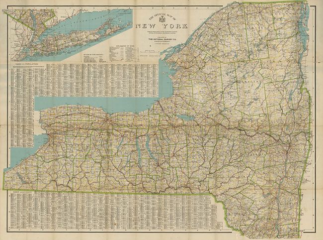
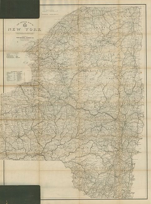
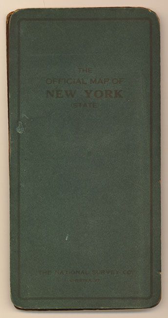
Subject: New York

Period: 1903-1915 (dated)

Publication:

Color: Printed Color

Size:
See Description
Download High Resolution Image
(or just click on image to launch the Zoom viewer)

1)Scarbourough's New Railroad, Post Office, Township, and County Map of New York with Distances Between Stations., by The Scarbourough Co., 1903, (45 x 40"). This enormous map is linen backed and folds into hard board covers with gilt title and flourishes. Beautiful full printed color with Victorian-style titling all surrounded by a keyboard border. Two large insets: Southeastern Part of New York Including all of the City of New York and Long Island; and Map of New York City. No significant flaws (A).

2)The Official Map of New York, The National Survey Co., circa 1915, (46 x 35"). This large map, in handsome outline coloring, is highly detailed and finely printed. The southern portion of the state is in a large inset that includes New York City and all of Long Island. On verso is a b&w map with the same title but is a more detailed map of the northern half of the state. Self folds into green boards. A few fold splits and some folds with toning. (B+)

References:

Condition:

See individual descriptions.

Estimate: $100 - $140

Sold for: $50

Closed on 6/2/2010

Archived