Catalog Archive
Auction 132, Lot 251

"[Lot of 3] A New Map of the State of Illinois [and] Johnson's Illinois [and] Asher & Adams' Illinois",
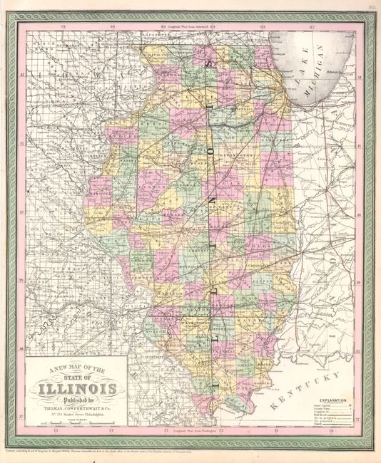
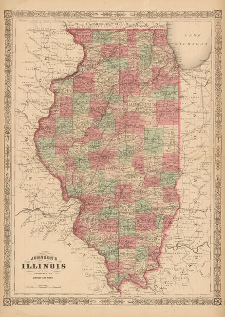
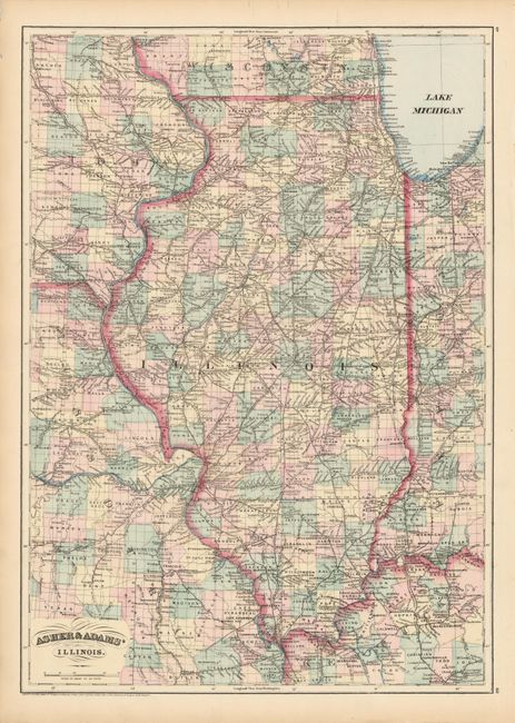
Subject: Illinois

Period: 1855-76 (published)

Publication:

Color: Hand Color

Size:
See Description
Download High Resolution Image
(or just click on image to launch the Zoom viewer)

These three maps provide a great comparison of the rapid expansion and development that occurred in Illinois in the latter part of the 19th century.

1) A New Map of the State of Illinois, published by Thomas, Cowperthwait & Co in Mitchell's New Universal Atlas in 1855 (13.3 x 15.6"). The state here appears nearly fully developed lacking only Ford and Douglas counties, both of which were created in 1859. The effects of early internal improvements and rapid settlement are many. No less than 6 rail lines originate in Chicago, branching out to serve all but the most southern counties. Brightly colored by county, with transportation routes highlighted.

2) Johnson's Illinois, published by Johnson and Ward in the New Illustrated Family Atlas in 1864 (17" x 23"). The counties are now fully formed and settlement is much denser than on the previous map. There is an extensive transportation network throughout the state with numerous major railways.

3) Asher & Adams' Illinois, published by Asher & Adams in the Atlas of the United States in 1876 (16 x 22.7"). This map shows a greatly expanded railroad network with lines connecting virtually all major towns and servicing nearly all the counties.

References:

Condition: A

All with original color and a few minor defects in blank margins, else fine.

Estimate: $250 - $350

Sold for: $180

Closed on 6/2/2010

Archived