Catalog Archive
Auction 132, Lot 184

"[An Accurate Chart of the coast of West Florida and the Coast of Louisiana]", Gauld, George

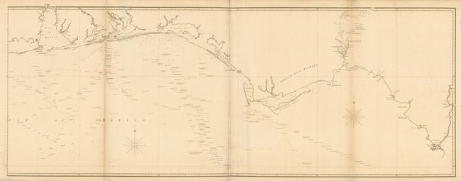
Subject: Southern United States

Period: 1823 (circa)

Publication:

Color: Black & White

Size:
61.5 x 23.4 inches
156.2 x 59.4 cm
Download High Resolution Image
(or just click on image to launch the Zoom viewer)

This is the eastern part only (2 of 4 sheets) of an extremely rare, large and detailed chart of the Gulf Coast from the surveys of Scottish surveyor George Gauld. This part covers the coast from Mobile Bay to Suwannee River and provides incredible detail and soundings in the gulf. There is also a significant amount of information in the vicinity of Tallahassee including the location of Indian villages, paths, old forts, and cultivated lands. Gauld was assigned by the British Admiralty to chart the waters off of West Florida between 1764 and 1771. He was taken prisoner by Spanish forces during the Siege of Pensacola in 1781. He died shortly after his release and return to England. His charts were published posthumously by Faden and later by the Admiralty in very limited numbers; this being issued by the Admiralty without the inset continuing the coast of Florida. We can find only a couple examples in institutional collections and no record of the complete map being on the market in the past 25 years. Two sheets joined, as issued.

References: Phillips (M) p. 282; cf Lemmon, Magill & Wiese #64.

Condition: B+

There is some minor offsetting and a short tear just entering the bottom border. The folds have been reinforced on verso with tissue.

Estimate: $4,000 - $6,000

Sold for: $4,250

Closed on 6/2/2010

Archived