Catalog Archive
Auction 132, Lot 183

"A New and Accurate Map of East and West Florida, Drawn from the best Authorities", Anon.

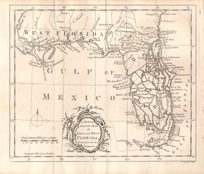
Subject: Colonial South, Florida

Period: 1765 (circa)

Publication:

Color: Black & White

Size:
8.8 x 7.3 inches
22.4 x 18.5 cm
Download High Resolution Image
(or just click on image to launch the Zoom viewer)

This interesting chart covers Florida and the region as far north as Savannah. West Florida extends to the Mississippi River to include New Orleans. It shows the entire peninsula as an archipelago that is heavily fragmented with numerous large waterways that communicate between the Gulf and the Atlantic Ocean. Tampa Bay is here named Bahia del Espiritu Santo. The map also shows the keys and extends to include las Tortugas. Rococo-style title cartouche, distance scale with British Statute Miles, and simple compass rose with fleur-de-lys decorate. There is no engraver credited but the map is engraved in Thomas Kitchin's delicate style. This map is very similar to one of the same title that was issued in the London Magazine in 1765.

References: Seller & Van Ee #1620; cf Jolly LOND-243.

Condition: A

Beautiful, early impression. Map is fine less two insignificant foxing marks at lower right around the keys.

Estimate: $375 - $425

Sold for: $250

Closed on 6/2/2010

Archived