Catalog Archive
Auction 132, Lot 161
"[Lot of 5 - New England]", Colton, Joseph Hutchins
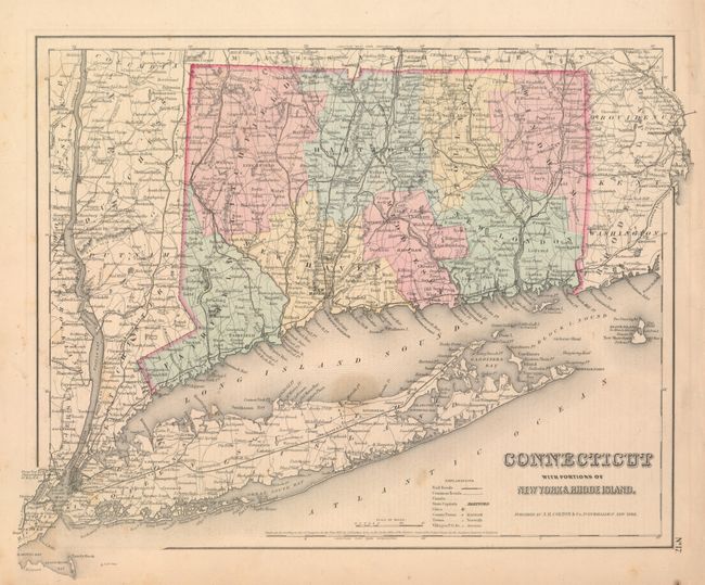
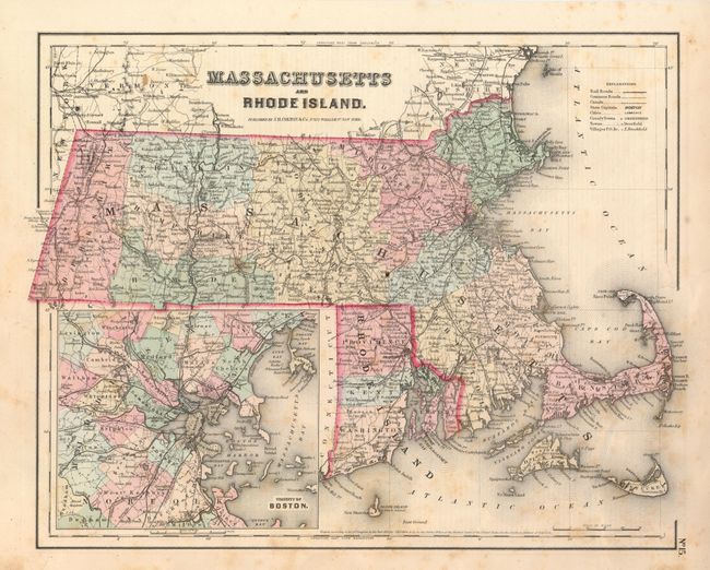
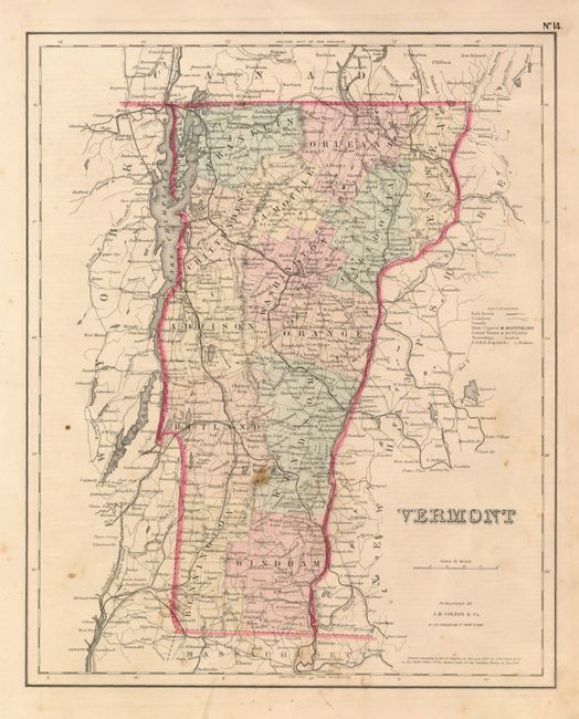
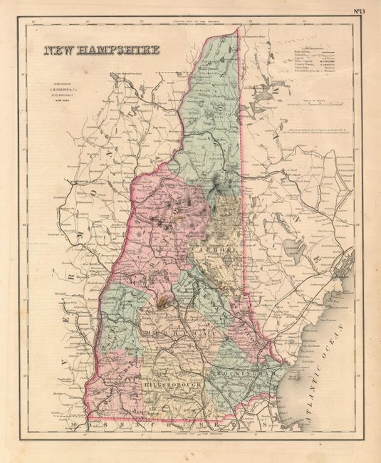
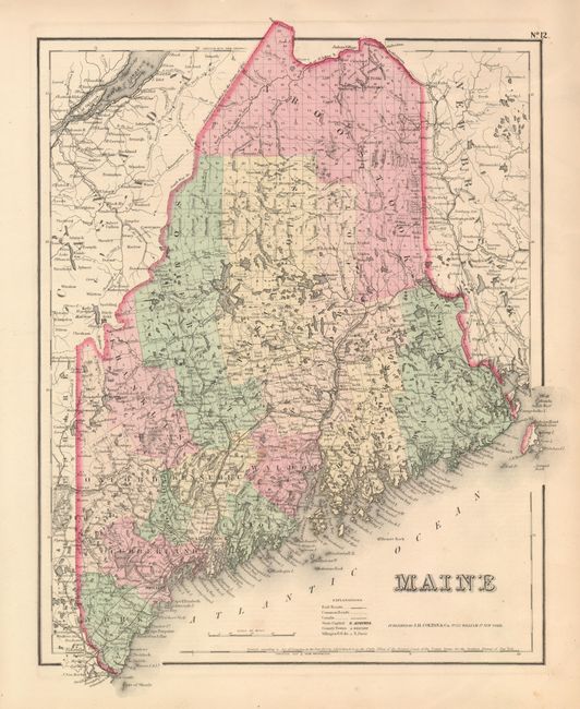
Subject: New England
Period: 1855 (dated)
Publication: General Atlas
Color: Hand Color
Size:
See Description
Download High Resolution Image
(or just click on image to launch the Zoom viewer)
(or just click on image to launch the Zoom viewer)