Catalog Archive
Auction 132, Lot 160
"[Lot of 3]", Hinton, John Howard
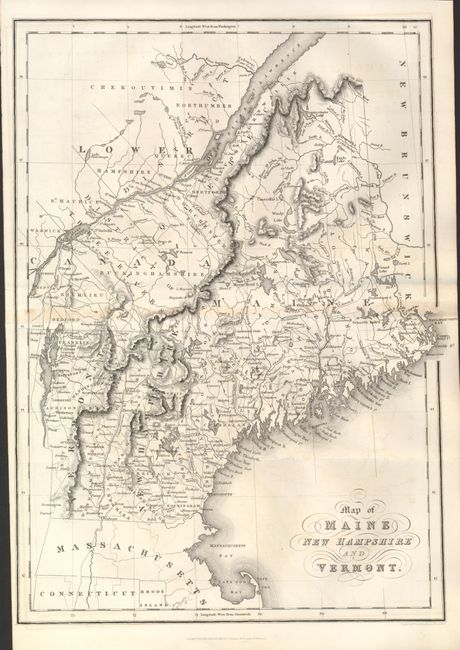
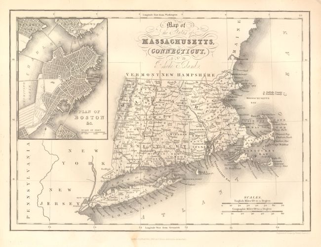
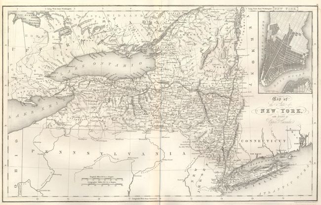
Subject: Northeastern United States
Period: 1832 (dated)
Publication: The History and Topography of the United States
Color: Black & White
Size:
See Description
Download High Resolution Image
(or just click on image to launch the Zoom viewer)
(or just click on image to launch the Zoom viewer)