Catalog Archive
Auction 132, Lot 11

"[Lot of 7] Planisphere [and] Asie, Oceanie, Amerique Meridionale, [and 3] Colonies Francaises", Levasseur, Victor

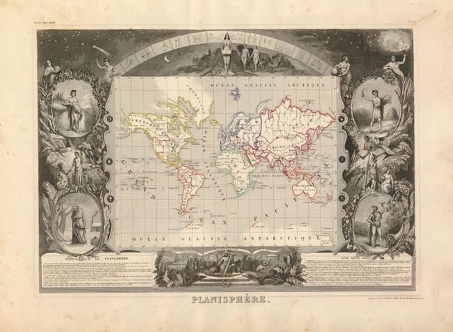
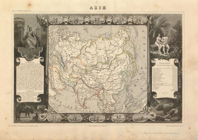
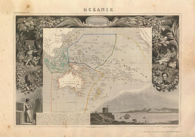
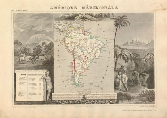
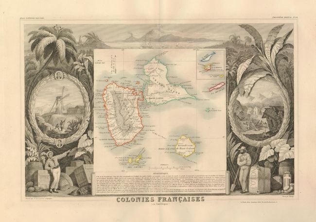
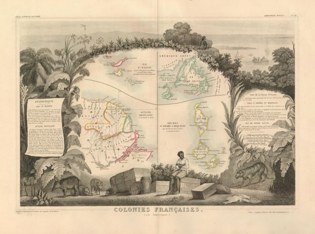
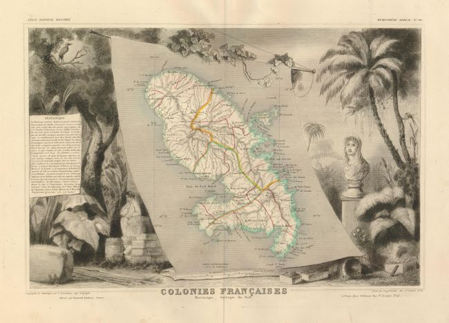
Subject: World, Continents and French Colonies

Period: 1845 (circa)

Publication:

Color: Hand Color

Size:
16.3 x 11.4 inches
41.4 x 29 cm
Download High Resolution Image
(or just click on image to launch the Zoom viewer)

Victor Levasseur's "Atlas National Illustre" and "Atlas Universel Illustre" are among the last decorative atlases published. The maps are all lavishly illustrated with scenes of the countryside, products and activities indigenous to the region.

Seven nice maps from these decorative French atlases. Sizes vary slightly.

1) Planisphere, map of the world drawn on Mercator's classic projection and surrounded by fine steel engravings including vignettes representing the four seasons, allegorical figures of the continents and several mythical figures, Adam and Eve, and an astrological banner stretching across the night sky at the top. In North America, a very large Oregon Territory appears on the west coast stretching from Mexico and the Baja well into British Columbia, reflecting U.S. claims in the region. (B+)
2) Asie, map of the Asian continent surrounded by vignettes depicting Adam and Eve, several exotic animals and costumes of the various peoples of Asia. (B+)
3) Oceanie, map that covers the entire South Pacific including Australia and New Zealand and Southeast Asia. The surrounding scenes feature the natives of the region, portraits of French explorers, native foliage and a harbor vignette. (B+)
4) Amerique Meridionale, map of South America colored to show political divisions. The map is surrounded by scenes including horses, Indians, mining and indigenous animals. (A)
5) Colonies Francaises (en Amerique), map of Guadeloupe, Marie Galante, St. Martin, etc. The surrounding engravings feature the rich produce of the islands including sugar, cotton, cocoa, tobacco, and coffee. It also depicts an earthquake. (A+)
6) Colonies Francaises (en Amerique), map includes French Guyana, Ile St. Martin, Newfoundland, and the nearby islands of St. Pierre & Miquelon. The tropical scene at bottom shows a hapless slave sitting on crates of coffee, vanilla, tobacco and cotton while an incongruous tiger stalks him. A fishing scene at top represents the Newfoundland region. (A)
7) Colonies Francaises Martinique - Amerique de Sud, focuses on the island of Martinique surrounded by lush tropical vegetation and a bust of Joséphine de Beauharnais, first wife of Napoléon Bonaparte, and daughter of a Martinique plantation owner. (A)

References:

Condition:

Condition varies from fine to good, with a few spots, mostly in the margins.

Estimate: $500 - $600

Sold for: $550

Closed on 6/2/2010

Archived