Catalog Archive
Auction 131, Lot 956

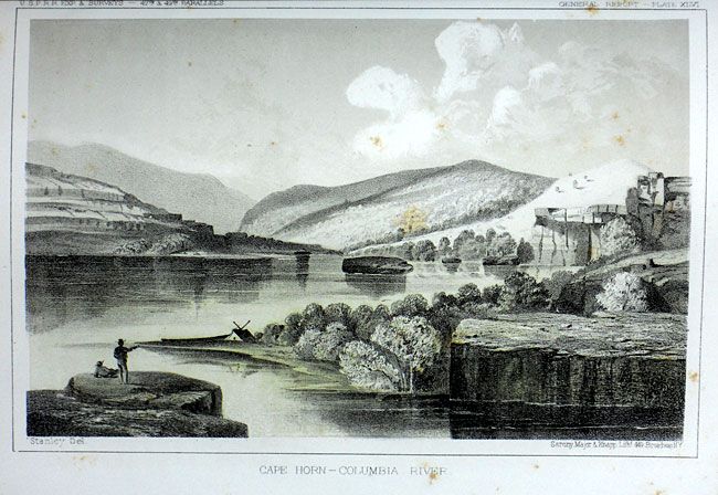
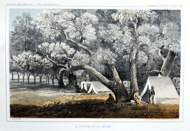
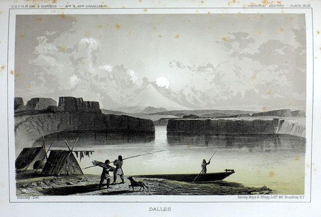
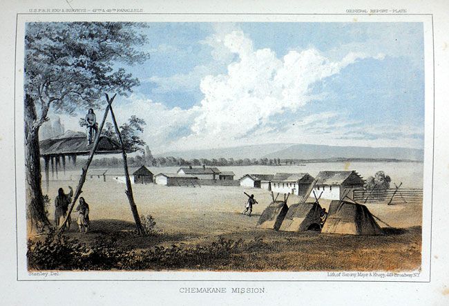
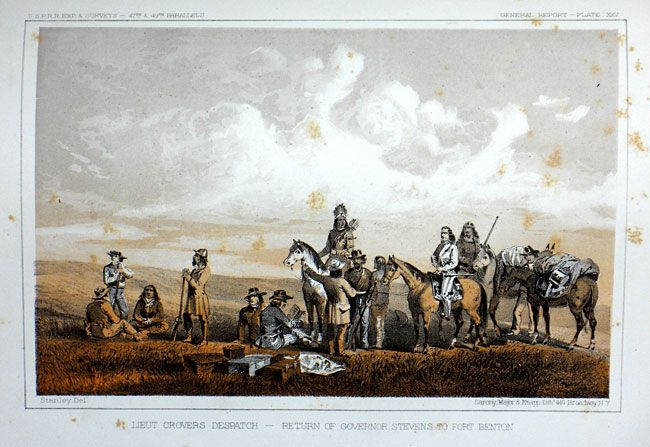
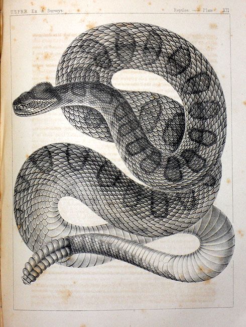
"Reports of Explorations and Surveys, to Ascertain the Most Practicable and Economical Route for a Railroad from the Mississippi River to the Pacific Ocean, Volume XII, Book l [and] Book II", U.S. Railroad Surveys

Subject: Exploration and Surveys, Western United States

Period: 1860 (published)

Publication: Ex. Doc. No. 56, 36th Cong. 1st Sess.

Color: Black & White

Size:
9.5 x 11.2 inches
24.1 x 28.4 cm
Download High Resolution Image
(or just click on image to launch the Zoom viewer)

These matched and complete volumes are from the 1860 House edition which is a revised and enlarged version of Stevens' narrative first published in octavo format in 1855. Book I describes Stevens' explorations from St. Paul to Puget Sound and contains his general narrative and final report and a superb collection of lithographs by John Mix Stanley, the expedition artist. Among the important lithographs are those that depict St. Paul, Fort Union, Fort Benton, Blackfeet Indians, Fort Owen, Nez Perces, Mount Rainier, and Cantonment Stevens (Corvallis). Included are the one of Hellgate (Missoula before there was a settlement), of the Big Hole Valley in Montana, and of the Great Falls of the Missouri. Volume XII "is one of the most richly illustrated volumes in the entire series" containing seventy tinted lithographs, three folding charts (Isothermal Chart of the Region .…. between the Atlantic & Pacific Oceans, the General Rail-road Profile), and the important map from Milk R. to the Crossing of the Columbia R., 60.5" x 23.2".

This remarkable map details the entire 1853-1855 surveys conducted to locate a northern route at the 47th and 49th Parallels. Most of the map covers Montana, with extraordinary detail and excellent relief by hachure, the naming of rivers, numerous routes with dates, and interesting topographical commentary. The map not only shows the main party's route, but also numerous routes followed by the various parties attached to the command. Joined on two sheets as issued.

Book II contains all of the natural history reports from the expedition including reports on botany, mammals, birds, insects, reptiles, mollusks, crustacean and fish. Complete with 55 plates (one more than called for) including 48 zoological and seven botanical. Both books are tall quarto, Book I 358 pp., Book II 399 pp., appendices and indexes in both. Printed in Washington by Thomas H. Ford. They are a matched pair in marbled paper boards with brown leather spines, green leather label with gilt title.

References:

Condition: B+

The Milk River map is detached with a 8" tear at upper left panel, the binding trim panel. Contents with a some scattered foxing, generally good to very good with more foxing mostly in end plates. Covers rubbed and worn with cracking to spines.

Estimate: $600 - $800

Sold for: $350

Closed on 3/17/2010

Archived