Catalog Archive
Auction 131, Lot 934
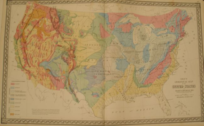
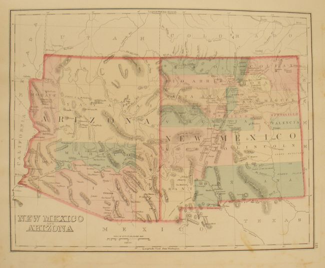
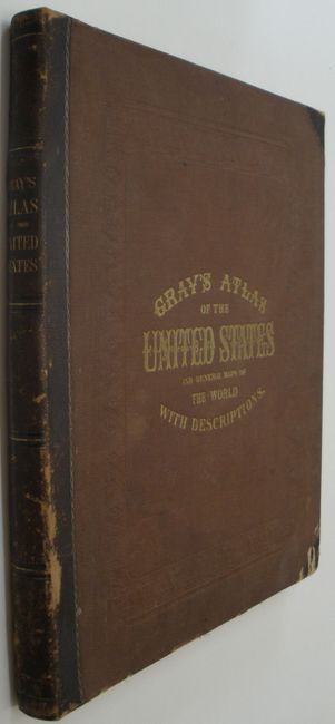
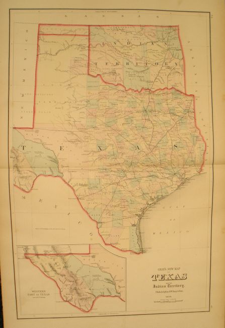
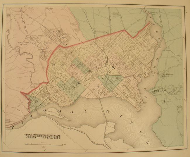
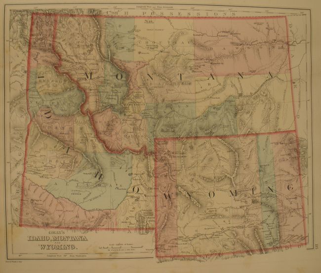
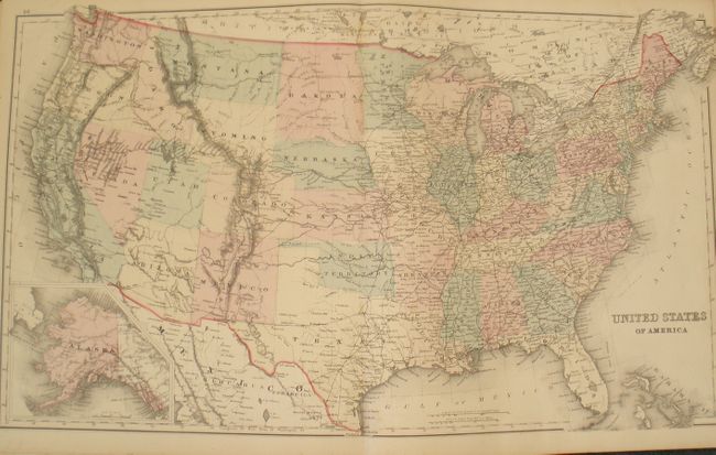
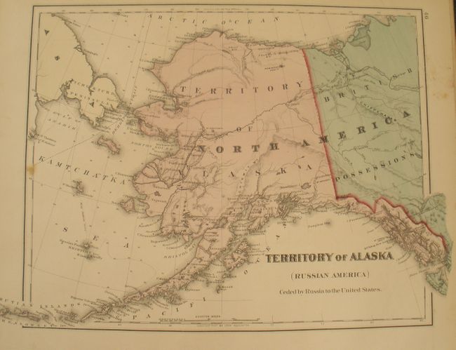
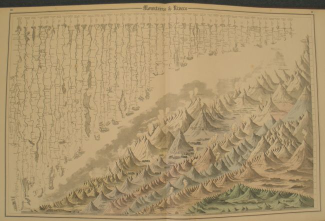
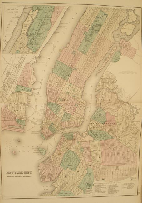
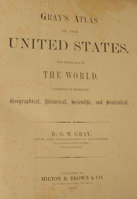
"Gray's Atlas of the United States, with General Maps of the World…", Gray, O. W.
1 of 11
Subject: Atlases
Period: 1875 (published)
Publication:
Color: Hand Color
Size:
15 x 17.5 inches
38.1 x 44.5 cm
Download High Resolution Image
(or just click on image to launch the Zoom viewer)
(or just click on image to launch the Zoom viewer)