Catalog Archive
Auction 131, Lot 793

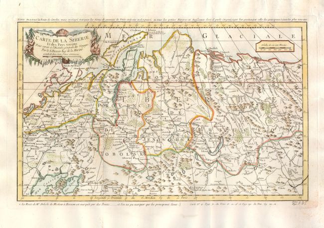
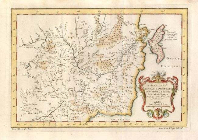
"[Lot of 2] Carte de la Siberie et des Pays voisins... [and] Carte de la Tartarie Orientale…", Bellin, Jacques Nicolas

Subject: Asiatic Russia

Period: 1760 (circa)

Publication: Prevost's Histoire Generale des Voyages

Color: Hand Color

Size:
See Description
Download High Resolution Image
(or just click on image to launch the Zoom viewer)

These two maps provide a detailed view of most of Russia. The first (17.8 x 11") covers from St. Petersburg, Moscow and the Caspian Sea to just beyond the Lena River. The routes of two important explorations are traced on the map; Johann Georg Gmelin's route from St. Petersburg to Yeniseysk 1731-36, and part of the surveys (Moscow to Berezovo) of Joseph-Nicolas Delisle who helped produce the first comprehensive atlas of Russia. The second (12.3 x 8.3") covers the eastern part of Tartary with part of present-day Manchuria and Sakhalin Island. The map was based primarily on Jesuit and English sources and is particularly detailed with regard to the river systems.

References:

Condition: B+

Both issued folded with wide original margins. There is a bit of minor toning, else very good.

Estimate: $200 - $250

Sold for: $150

Closed on 3/17/2010

Archived