Catalog Archive
Auction 131, Lot 496
"Niewe Caart van XIII Voorname Havens", Anon.
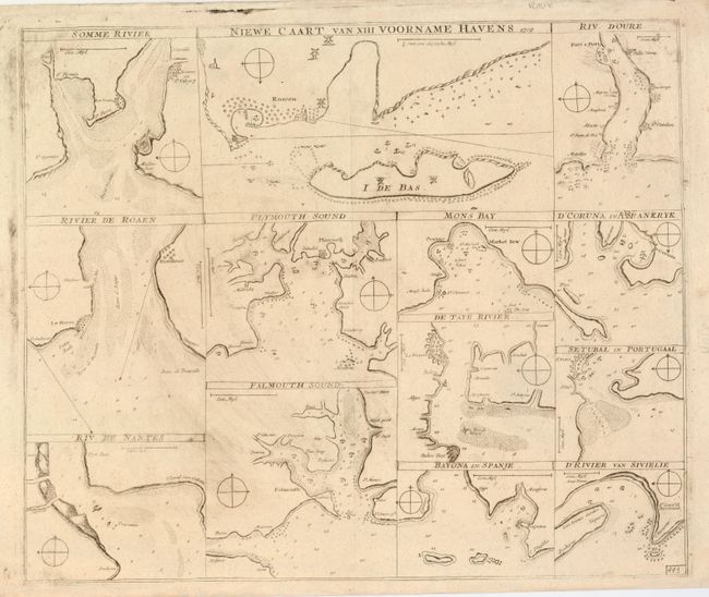
Subject: Europe
Period: 1707 (dated)
Publication:
Color: Black & White
Size:
19.8 x 16.5 inches
50.3 x 41.9 cm
Download High Resolution Image
(or just click on image to launch the Zoom viewer)
(or just click on image to launch the Zoom viewer)