Catalog Archive
Auction 131, Lot 377
"Harper's Ferry", U.S. War Department
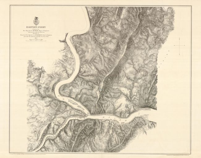
Subject: West Virginia
Period: 1867 (dated)
Publication: Military Maps … Armies of the Potomac and James
Color: Black & White
Size:
21.5 x 32 inches
54.6 x 81.3 cm
Download High Resolution Image
(or just click on image to launch the Zoom viewer)
(or just click on image to launch the Zoom viewer)