Catalog Archive
Auction 131, Lot 376
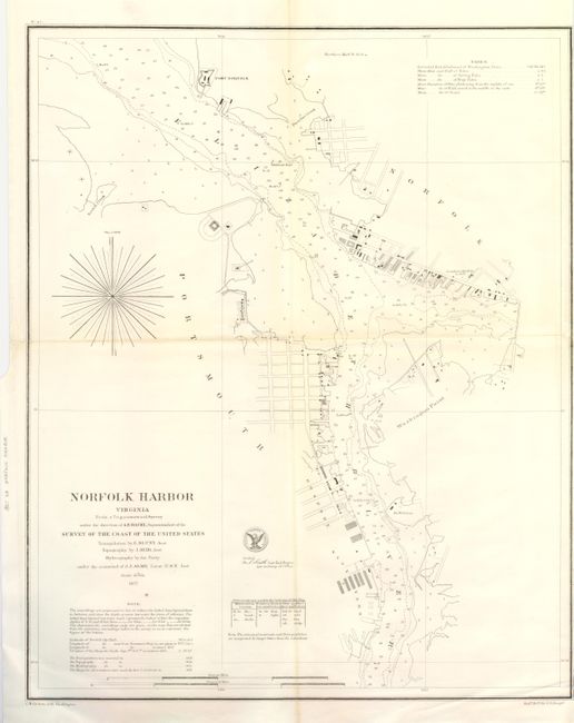
"Norfolk Harbor Virginia From a Trigonometrical Survey under the direction of A.D. Bache, Superintendent of the Survey of the Coast…", U.S. Coast & Geodetic Survey
Subject: Virginia
Period: 1857 (dated)
Publication:
Color: Black & White
Size:
15.6 x 19.3 inches
39.6 x 49 cm
Download High Resolution Image
(or just click on image to launch the Zoom viewer)
(or just click on image to launch the Zoom viewer)