Catalog Archive
Auction 131, Lot 238
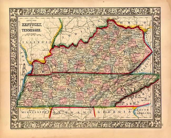
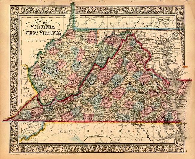
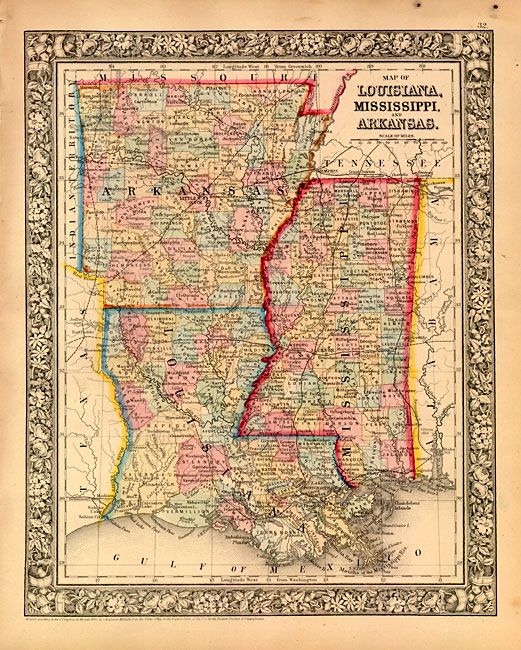
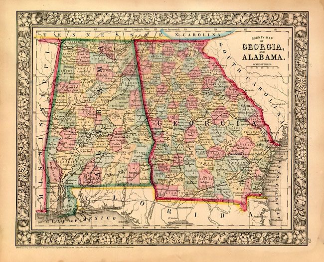
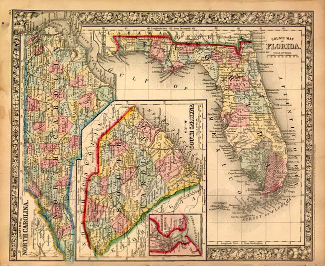
"[Lot of 5 - Southern U.S. States]", Mitchell, Samuel Augustus
1 of 5
Subject: Southern United States
Period: 1860-63 (dated)
Publication: New General Atlas
Color: Hand Color
Size:
See Description
Download High Resolution Image
(or just click on image to launch the Zoom viewer)
(or just click on image to launch the Zoom viewer)