Catalog Archive
Auction 131, Lot 196

"United States", Burr/Illman

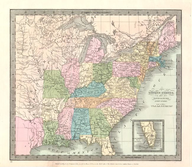
Subject: Eastern United States

Period: 1833 (dated)

Publication: New Universal Atlas

Color: Hand Color

Size:
13 x 8 inches
33 x 20.3 cm
Download High Resolution Image
(or just click on image to launch the Zoom viewer)

Map shows the extent of the early United States, with Missouri, Arkansas and Louisiana demarcating the western frontier. Texas is part of Mexico, a large Missouri Territory reaches westward, and Huron Territory takes the place of Wisconsin and the Upper Peninsula of Michigan. The southern tip of Florida is shown in an inset at the lower right. The map is filled with early towns, settlements and mines, watershed and some topography. Published by Illmann & Pilbrow.

References:

Condition: A

The map appears mint, but in fact has a long tear through its center which is well closed and mostly invisible.

Estimate: $100 - $150

Sold for: $50

Closed on 3/17/2010

Archived