Catalog Archive
Auction 130, Lot 870

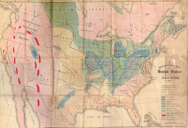
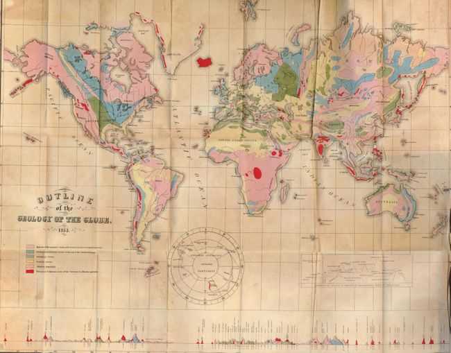
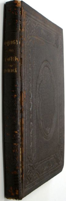
"A Geological Map of the United States and Canada. 1853 [and] Outline of the Geology of the Globe", Hitchcock, Edward
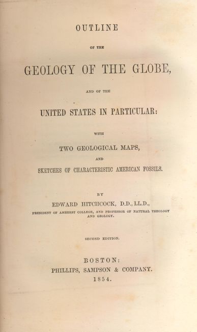
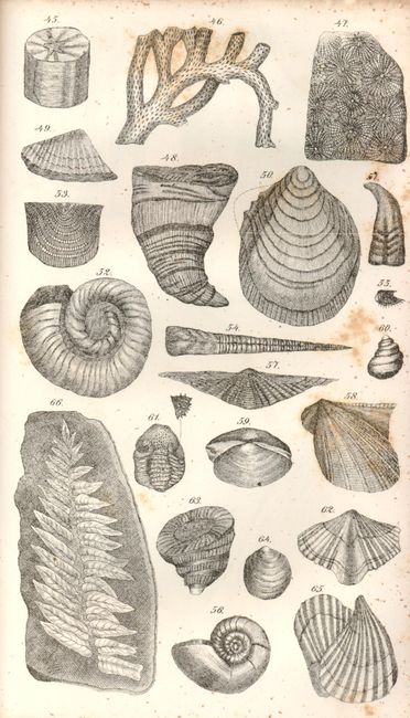
Subject: Geology

Period: 1854 (dated)

Publication:

Color: Hand Color

Size:
24.2 x 16 inches
61.5 x 40.6 cm
Download High Resolution Image
(or just click on image to launch the Zoom viewer)

The first map is Hitchcock's map of 1853 which is unchanged from the first edition of this report. Essentially, it is a compilation of Lyell’s map for the eastern portion combined with M. Boue’s “Geological Map of the World” for the western portion modified by the author’s generalizations derived from the relations of geography to geology, as argued in the report. In this respect, he freely admits that such generalizations for the western US might be greatly erroneous. This hand colored map provides early detail of the geological formations. An explanatory key to the colors indicates fifteen geological formations. An important and landmark geological map that is bound in its original report "Outline of the Geology of the Globe, and of the United States in Particular; with Two Geological Maps, and Sketches of Characteristic American Fossils”," by Edward Hitchcock, Boston: Phillips, Sampson & Company, 1854, 5.5" x 9". Second edition, octavo, 136 pp., 6 plates, and 2 folding hand-colored geological maps. In original brown blind stamped cloth with gilt spine title. US map size: 24 ¼ x 16 ¼ inches; World map size: 23 x 18 ¼ inches. Scarce. Published one year after the first Boston edition of 1853, the work is notable for containing his first attempt at a geological map of the United States. His son C. H. Hitchcock also notes that "the part relating to the United States is the first attempt to show the distribution of rocks from the Atlantic to the Pacific border".

The second map (23 x 18") is drawn on Mercator's Project. It shows the entire world with a separate hemisphere of the "Supposed Antarctic Continent" which locates Wilke's Land, South Victoria, Enderby Land and Cook's sighting of 1774. This hand colored map uses six different colors to locate as many geological formations. Along the bottom are the comparative heights of mountains and volcanoes aligned with the position on the map. The report and it's two maps are rarely seen together.

References: Marcou & Marcou #4 & #41.

Condition: B+

The first map is good+ with just a little toning visible in blank ocean to the right. Bright color, clear impression and full margins. The second map is similar with also a 1" tear at binding trim. The covers with slight edge wear at extremities with some chipping and flaking of cloth along hinges. Hinges sound and binding tight. There are old ink and pencil names written on the front pastedown, but the book is otherwise clean and mark-free. Sparse foxing to text, plates more affected.

Estimate: $300 - $400

Sold for: $1,100

Closed on 12/2/2009

Archived