Catalog Archive
Auction 130, Lot 806

"Carte de l'Isle O-Taiti", Bonne, Rigobert

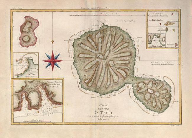
Subject: Pacific Islands, Tahiti

Period: 1780 (circa)

Publication:

Color: Hand Color

Size:
13.5 x 9.3 inches
34.3 x 23.6 cm
Download High Resolution Image
(or just click on image to launch the Zoom viewer)

This handsome map is a remarkably accurate, early map of Tahiti. It presents the information Capt. James Cook gathered when he spent several months on the island observing the transit of Venus. The detail on the map includes topography and the depiction of reefs, anchorages and soundings. The map of Moorea is less accurate. Inset maps are of harbors and anchorages on the two islands. This edition of the map, engraved by Andre, appeared in a French edition of Cook’s voyages.

References:

Condition: B+

The centerfold has been reinforced with light tissue on verso and there is some minor soil in the map.

Estimate: $250 - $300

Sold for: $190

Closed on 12/2/2009

Archived