Catalog Archive
Auction 130, Lot 791

"[Lot of 3] Nigritie, ou le Pays des Negres, en Afrique… [and] Guinee, Grand Pays de l'Afrique… [and] Royaumes de Congo et d'Angola…", Aa, Pieter van der

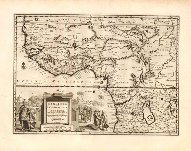
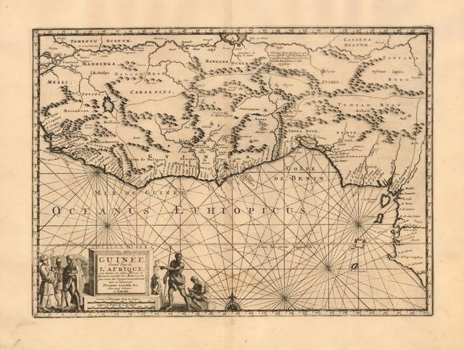
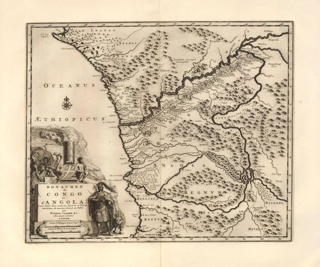
Subject: Western Africa

Period: 1720 (circa)

Publication:

Color: Black & White

Size:
14 x 11 inches
35.6 x 27.9 cm
Download High Resolution Image
(or just click on image to launch the Zoom viewer)

Three fine maps of West Africa, each decorated with an elaborate, pictorial title cartouche. The first covers the largest region, from Western Sahara to Benguela and inland to the middle of the continent. It provides excellent detail along the coastlines, as well as some interesting, spurious information in the interior including the twin lake sources of the Nile River, and the kingdom of Prester John atop Mount Amara. The other maps focus on the Guinee coast and the kingdoms of Congo and Angola, respectfully. The cartouche of each map illustrate the major trade goods, exotic animals and the various native inhabitants. The size varies slightly.

References:

Condition:

All have fine impressions and wide original margins. The map of Guinee is lightly toned with a minor stain at lower centerfold (B+). The other two are fine and very good.

Estimate: $350 - $450

Sold for: $300

Closed on 12/2/2009

Archived