Catalog Archive
Auction 130, Lot 738

"Tabula X Asiae", Ptolemy/Fries
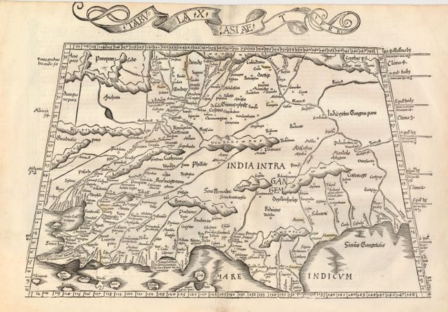
Subject: India

Period: 1522 (published)

Publication: Claudii Ptolemaei Alexandrini Geographicae…

Color: Black & White

Size:
19 x 11.5 inches
48.3 x 29.2 cm
Download High Resolution Image
(or just click on image to launch the Zoom viewer)

A nice example of this early and desirable Ptolemaic map of India, which is depicted in a distorted form with a severely truncated peninsula. The map presents the mountains, rivers and places compiled by the Alexandrian geographer, which though crude and confusing, is a remarkable view of the region between the deltas of the Indus and Ganges Rivers, both of which are shown. The title is contained in a banner in the top margin.

References:

Condition: B+

There is some minor uneven toning.

Estimate: $900 - $1,000

Unsold

Closed on 12/2/2009

Archived