Catalog Archive
Auction 130, Lot 694

"Asiae Nova Descriptio", Hondius, Jodocus
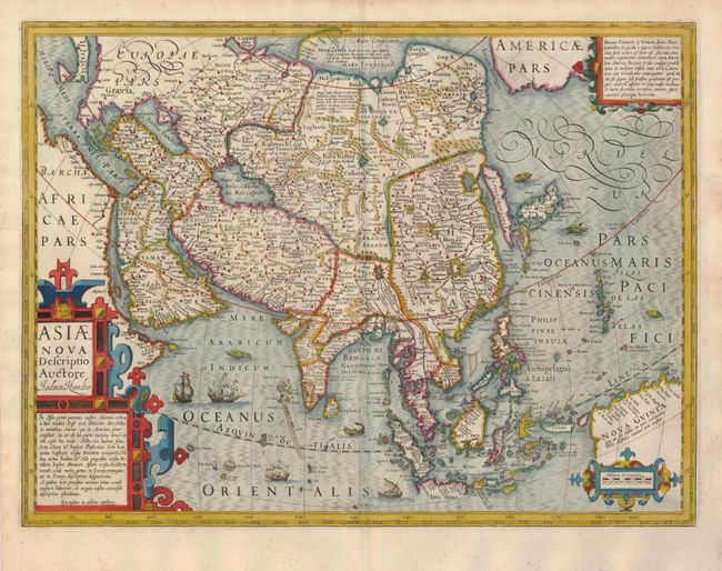
Subject: Asia

Period: 1610 (circa)

Publication: Gerardi Mercatoris Atlas sive Cosmographicae…

Color: Hand Color

Size:
20 x 14.8 inches
50.8 x 37.6 cm
Download High Resolution Image
(or just click on image to launch the Zoom viewer)

This excellent map of Asia was Hondius’ update of Mercator’s map of 1595. Though it corrected many of Mercator’s errors, the map still has many interesting early depictions. Korea is shown as a very long island. Japan is depicted on the Ortelius-Teixeria model with three principal islands. In India, the Gulf of Cambay is very exaggerated but the shape of Ceylon has been improved. The mythical Chami Lacus appears to the northeast of India. The Philippines are marked as the Philippina Insulae, as well as Archipelagus S. Lasari, Magellan’s original name for the group. The southern coastline of Java is left blank. The northern coastline of New Guinea includes many place names from Spanish expeditions, and there is a note that it is unknown if New Guinea is a part of Terra Australis. Across the Anian Fretum lies part of North America, labeled Americae Pars, with a cartouche notation concerning the searches for a Northwest Passage. The map is richly decorated with strapwork cartouches, ships, and numerous sea monsters.

References: Yeo #20; Walter #24.

Condition: A+

There is some very faint foxing in the blank margins, still fine overall condition.

Estimate: $1,200 - $1,400

Sold for: $1,100

Closed on 12/2/2009

Archived