Catalog Archive
Auction 130, Lot 681

"[Lot of 3] Tabula Asiae V [and] Persiae Regnum sive Sophorum Imperium [and] Oriens Persia, India &c.",

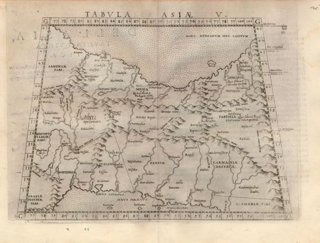
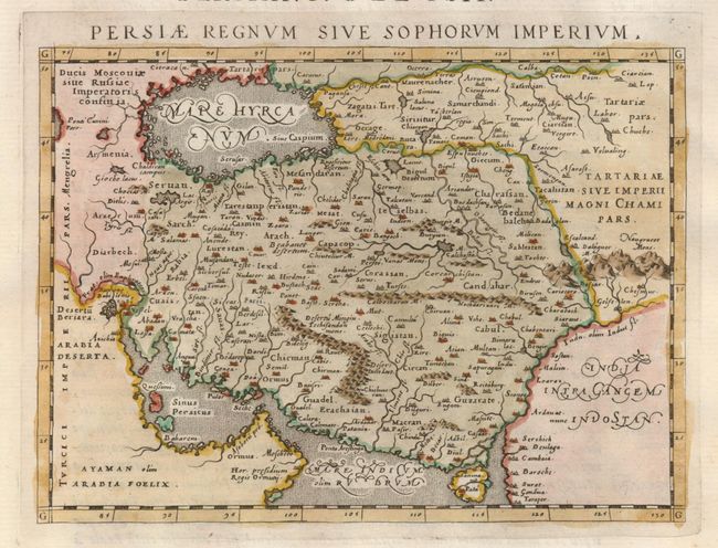
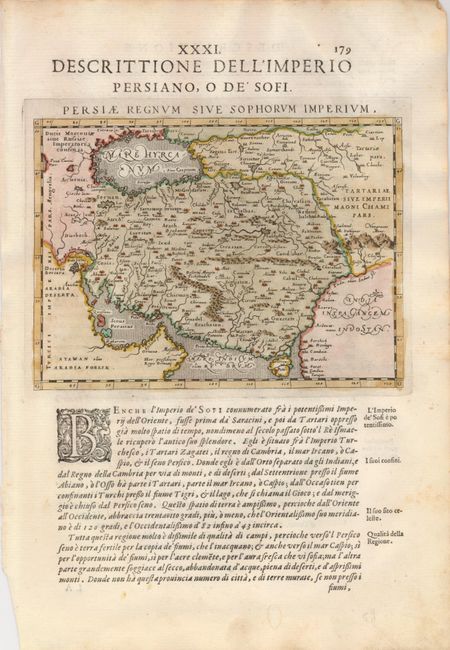
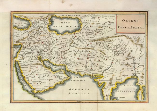
Subject: Persia - Iran

Period: 1561-1742 (circa)

Publication:

Color:

Size:
See Description
Download High Resolution Image
(or just click on image to launch the Zoom viewer)

1) Tabula Asiae V, by Girolamo Ruscelli, circa 1561. Ptolemaic map of the region between the Persian Gulf and the Caspian Sea showing Babylon and Mesopotamia as well as several ancient religious sites. Italian text on verso (10 x 7.2"), uncolored. There are some worm tracks in bottom margin well away from the map.

2) Persiae Regnum sive Sophorum Imperium by Giovanni Antonio Magini, circa 1598. Lovely miniature map of Iran from the Caspian Sea extending to the Gulf of Oman, filled with detail of towns, mountains and topography. The map is finely engraved in the Italian style with stippling in the sea and fine calligraphy. On sheet with Italian text (6.7 x 5"), hand colored. Light foxing in blank margins.

3) Oriens Persia, India &c., engraved by W.H. Toms and published by James Knapton, circa 1742. This copper engraved map covers the region from the Middle East through Arabia, Iran and India to the Sinum Gangeticus (Bay of Bengal and Andaman Sea). (12 x 8"), hand colored. There is some minor soil in the blank margins.

References:

Condition: A

Estimate: $250 - $325

Unsold

Closed on 12/2/2009

Archived