Catalog Archive
Auction 130, Lot 587

"A New Map of Sarmatia Europaea Pannonia and Dacia…", Wells, Edward

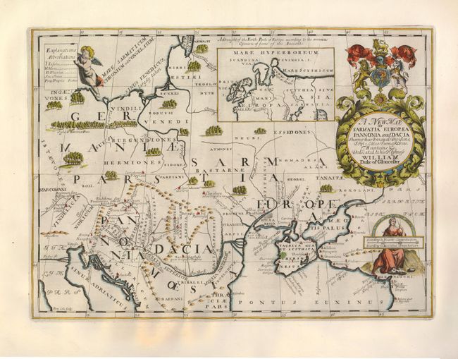
Subject: Southeastern Europe

Period: 1700 (published)

Publication: A New Sett of Maps…

Color: Hand Color

Size:
20 x 14.8 inches
50.8 x 37.6 cm
Download High Resolution Image
(or just click on image to launch the Zoom viewer)

This boldly engraved map delineates the land of ancient Sarmatia, Pannonia, and Dacia, extending from Hungary through the Ukraine. The map shows the locations of ancient cities and fills the large blank areas with scattered forests. The map is nicely decorated with figures and putti supporting the distance scale and key, and a large title cartouche incorporating the dedication to, and coat of arms of, William, Duke of Gloucester. Engraved by Benjamin Cole. This is the first state, without a plate number. Wells (1667-1727) was a mathematician, geographer and professor at Oxford, where he taught the young Duke of Gloucester. All the maps in Wells' atlas were dedicated to William who had always been sickly and died in July 1700.

References:

Condition: A

This is a spectacular example on heavy hand laid paper with dark, early impression and fine hand coloring. There is a light toned area in the lower left margin, otherwise fine.

Estimate: $275 - $350

Sold for: $150

Closed on 12/2/2009

Archived