Catalog Archive
Auction 130, Lot 517

"Le Portugal et ses Frontieres avec l'Espagne…", Bellin, Jacques Nicolas
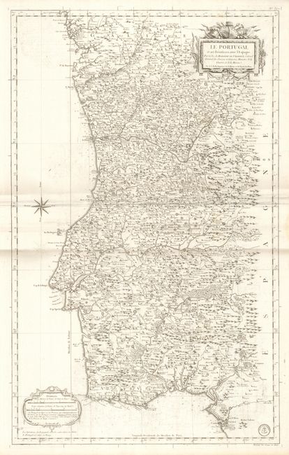
Subject: Portugal

Period: 1762 (dated)

Publication:

Color: Black & White

Size:
21.8 x 35 inches
55.4 x 88.9 cm
Download High Resolution Image
(or just click on image to launch the Zoom viewer)

This is an uncommon, large-scale map published by the Depot de la Marine, as ordered by Étienne-François, duc de Choiseul during the Seven Years War. The map is packed with information on the topography, fortifications, villages, roads and trails. The chart is adorned with a large military-theme title cartouche and a decorative distance scale cartouche. The seal of the Depot de la Marine is at lower right with Prix un Franc et demi below the neatline.

References:

Condition: B+

Minor damp stains in the blank margins. There is some surface soil and minor offsetting within the map.

Estimate: $250 - $325

Sold for: $180

Closed on 12/2/2009

Archived