Catalog Archive
Auction 130, Lot 330

"Mexique", Monin, Charles V.

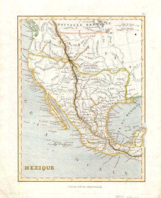
Subject: United States & Mexico, Texas

Period: 1845 (circa)

Publication:

Color: Hand Color

Size:
7.5 x 9.7 inches
19.1 x 24.6 cm
Download High Resolution Image
(or just click on image to launch the Zoom viewer)

Delicately engraved map is centered on New Mexico and the Independent Republic of Texas. Good detail of watershed throughout the region. The map shows a pre-Fremont understanding of the Great Basin with rivers running though it including the Bonaventure and its large lake. Locates the Great Salt Lake and accurately shows the course of the Missouri, Big Horn, Columbia (R. Clamet) and Lewis (Snake) rivers. With many early villages named and Indian regions noted. The seas are fully engraved in ruled lines.

References:

Condition: A

Early, bright impression and full margins. A spot at upper right near distance scales, otherwise a fine example.

Estimate: $100 - $140

Sold for: $65

Closed on 12/2/2009

Archived