Catalog Archive
Auction 130, Lot 316

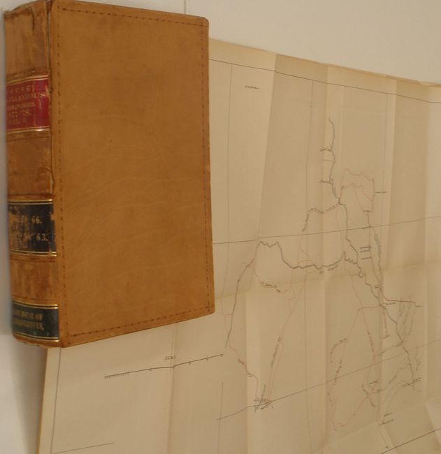
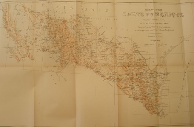
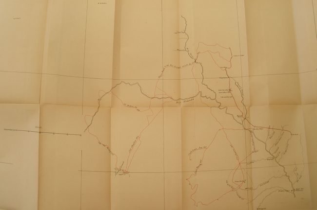
"Testimony Taken by the Committee on Military Affairs in Relation to the Texas Border Troubles", U.S. Gov't Printing Office

Subject: Texas

Period: 1878 (dated)

Publication:

Color: Black & White

Size:
6 x 9 inches
15.2 x 22.9 cm
Download High Resolution Image
(or just click on image to launch the Zoom viewer)

This 2.5" thick 8vo book is volume IV of Miscellaneous Documents 1877-78. It contains voluminous detail on the Indian and Mexican border skirmishes and includes the related two large folding maps. The first untitled map (24" x 16.3") is centered on the Rio Grande and Pecos River valleys, extending in the south from Fort Duncan to the confluence of Independence Creek at the Pecos River. Locates Remalina, Saragosa, Piedras Negras, Fort Clark, San Felipe, the Painted Caves, Camp Hudson, and the Sierra Cormel. The map delineates the movements of Col. Shafter (1876 & Oct. 1877); Lt. Bullis (Oct. 1877); Capt. Lebo (Aug. 1876); and Capt. Keyes (1877). Also shows the "Wagon Road to the Rio Grande made by troops in 1876," and locates Dead Man's Pass and Dead Man's Hole near Devil's River. Very good with limited light toning. (B+) The second map is "Extract From Carte du Mexique Dressee au Depot de la Guerre, Par Mr. Niox, Capitaine d'Etat Major…" (24" 14.5"). This printed color map shows the northern part of Mexico along the entire US border from Tampico to the Pacific Ocean. Brown lithographed texture is used to suggest topography. Extends south to include Alamos de Cotore, Cerro Gordo, Parras, and Guaymas on the mainland and to Guadalupe on the Baja. It is filled with towns and villages, wagon roads and other detail. Very nice with just a hint of fold toning. (A) Bound with other documents. Full government leather, raised spine and leather labels on spine.

References:

Condition: A

Binding worn with upper part of spine starting, contents fine.

Estimate: $400 - $600

Sold for: $200

Closed on 12/2/2009

Archived