Catalog Archive
Auction 130, Lot 304

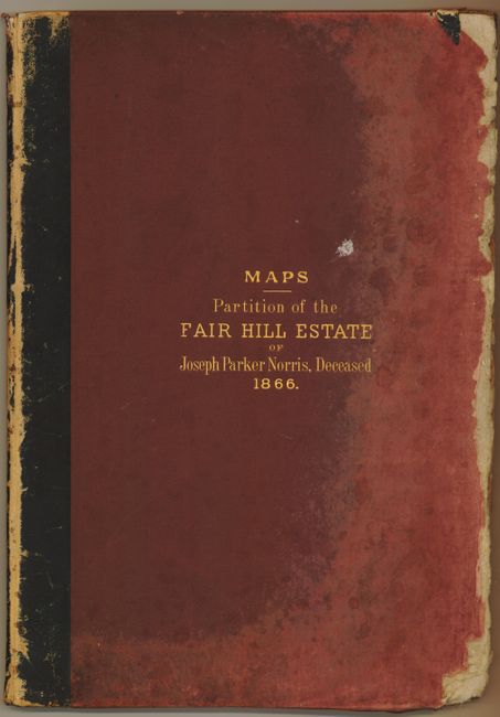
"Maps Illustrating the Partition of the Fair Hill Estate of Joseph Parker Norris, Deceased 1866",

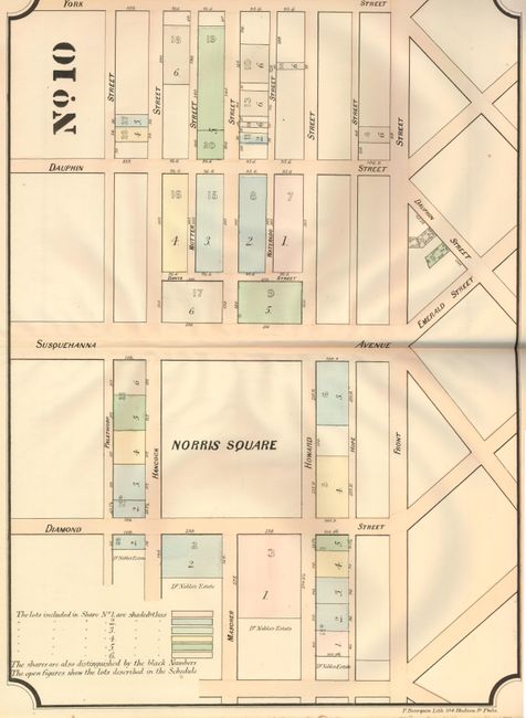
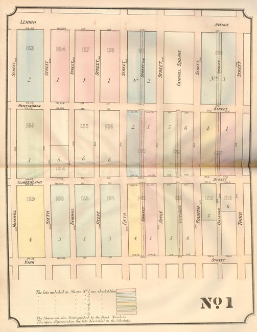
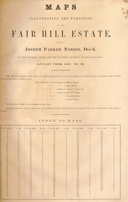
Subject: Atlas - Philadelphia, Pennsylvania

Period: 1866 (dated)

Publication:

Color: Hand Color

Size:
13 x 19 inches
33 x 48.3 cm
Download High Resolution Image
(or just click on image to launch the Zoom viewer)

This rare atlas contains twelve double page maps together showing the streets and lots in a section of Philadelphia that includes Norris Square and Fairhill Square. The hand colored maps include metes and bounds for each property, street locations, lots included in each share, and in some cases the names of other owners. Each double page map measures approximately 17" x 21". The legend on each shows the six colors used to indicate lots in Share No. 1 though No. 6. The tile page lists six people or trusts as recipients of the courts findings, namely Henry, Isaac, Joseph, George, Charles and Samuel Norris. The Supreme Court for the Eastern District of Pennsylvania settled the case brought by the heirs to partition this large and valuable real estate. A most uncommon atlas for which we find only one other copy in the Library of Congress.

References:

Condition: A

Condition given is for the maps, which are very good. The covers are faded, worn, warped and heavily worn along edges. Should be rebound. Blank end papers are a little worn at edges, contents sound and very good to fine.

Estimate: $200 - $300

Sold for: $100

Closed on 12/2/2009

Archived