Catalog Archive
Auction 130, Lot 211

"Gli Stati Uniti dell'America Delineati sulle ultime Osservazioni - Terzo Foglio che comprende Parte Della Virginia e della Carolina", Cassini, Giovanni Maria

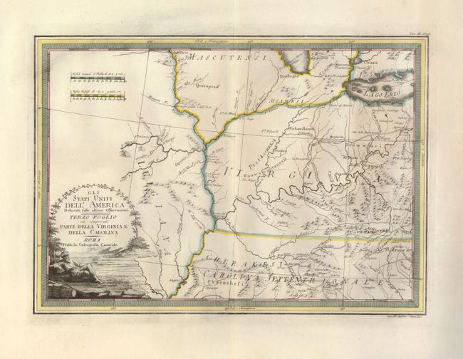
Subject: Central United States

Period: 1797 (dated)

Publication: Nuovo Atlante Geografico Universale

Color: Hand Color

Size:
18.8 x 13.5 inches
47.8 x 34.3 cm
Download High Resolution Image
(or just click on image to launch the Zoom viewer)

This uncommon map is part of Cassini's six-sheet representation of the settled portions of North America, now part of the new United States. In creating this map, Cassini drew largely from the foundation map of North America by Zatta-Mitchell. This sheet is focused on the Mississippi and Ohio river valleys, showing portions of Lakes Erie and Michigan at top; the latter with the note of Fiume e Porto Chicagou near present-day Chicago. The interior is shown to be Virginia and North Carolina territory, but it covers present-day Indiana, Ohio, Kentucky, and portions of Missouri and Tennessee. The native tribes are noted, and the forts and roads are located along with a number of towns. The map is decorated with a landscape cartouche showing a turbaned man lounging on the shores of a river.

References: Portinaro & Knirsch #166; cf McCorkle #797.3.

Condition: A+

Wide margins with deckled paper edges and large fleur-de-lis watermark. Dark impression and fine hand coloring.

Estimate: $650 - $850

Sold for: $425

Closed on 12/2/2009

Archived