Catalog Archive
Auction 130, Lot 172

"Carte des Etats-Unis", Delamarche, Felix

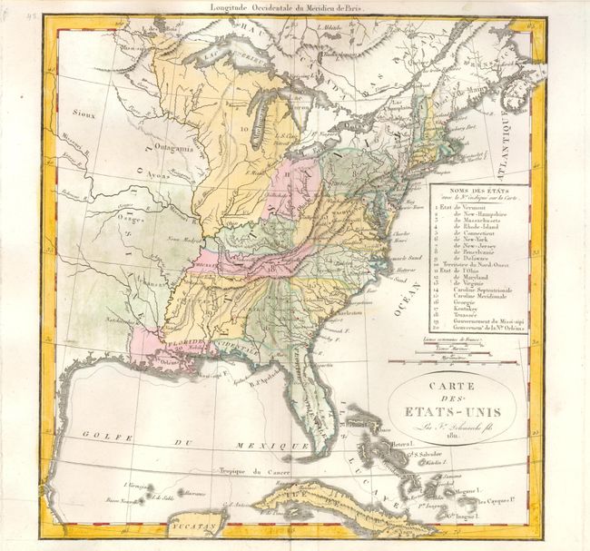
Subject: Eastern United States

Period: 1811 (dated)

Publication:

Color: Hand Color

Size:
10.8 x 11.3 inches
27.4 x 28.7 cm
Download High Resolution Image
(or just click on image to launch the Zoom viewer)

This uncommon map lists the twenty political divisions of the Untied States in 1811. Beside the seventeen states also identifies the Territory of the North-West, and the Governments of Mississippi and New Orleans. The list is keyed to the map. The organized New Orleans is a large region occupying much of today's Louisiana. Only Ohio (1803) has been formed from NW Territory, but with significantly different borders than we see today. Each political entity is identified with engraved line and (later) hand coloring. Many frontier towns are named and located with engraved circle. The map extends roughly to the center of Texas (unnamed) with some watershed information in the mostly blank Louisiana Territory. Good detail of the Great Lakes and the course of the St. Laurence River.

References:

Condition: A

Very nice, near fine example less a professionally closed split at centerfold near bottom.

Estimate: $300 - $350

Sold for: $2,000

Closed on 12/2/2009

Archived