Catalog Archive
Auction 129, Lot 617
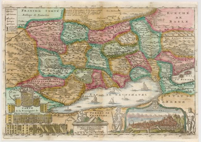
"[Lot of 2] Carte de la Principaute de Neufchatel et Valangin [and] La Suisse",

1 of 2
Subject: Switzerland
Period: 1710-43 (circa)
Publication:
Color: Hand Color
Size:
See Description
Download High Resolution Image
(or just click on image to launch the Zoom viewer)
(or just click on image to launch the Zoom viewer)