Catalog Archive
Auction 128, Lot 612
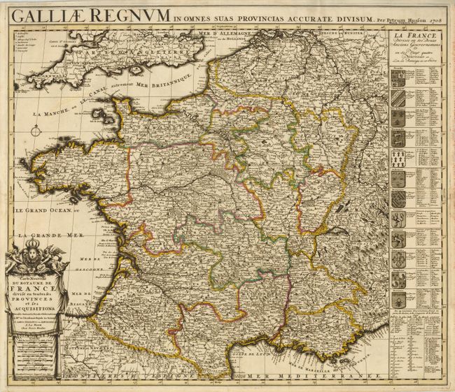
"Carte Nouvelle du Royaume de France divise en toutes ses Provinces et ses Acquisitions", Husson, Pieter
Subject: France
Period: 1708 (dated)
Publication:
Color: Hand Color
Size:
23.3 x 19 inches
59.2 x 48.3 cm
Download High Resolution Image
(or just click on image to launch the Zoom viewer)
(or just click on image to launch the Zoom viewer)