Catalog Archive
Auction 128, Lot 483

"Chili", Hondius, Henricus
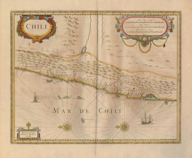
Subject: Chile

Period: 1640 (circa)

Publication:

Color: Hand Color

Size:
18.8 x 14.5 inches
47.8 x 36.8 cm
Download High Resolution Image
(or just click on image to launch the Zoom viewer)

This copper engraved map details the coastal region of central Chile from Po. De Vetus and the Val de Copyapo south to the C. de Diego Galleo. Place names include S. Iago de la Nueva Estremadura (Santiago), Osorno, Baldivia (Valdivia), Villa Rica, Imperial, Ongol villa nueva de los Infantes, la Concepcion, la Serena. The Andes, dominating the eastern slope, are called Sierra nevado de Los Andes. S. Iuan de la frontera and Mendoca are the only settlements east of the Andes. Along the coast is the small island of ChiloƩ with the settlement of Castro located. Beautifully embellished with three cartouches, sea monsters, sailing ships and two ornate compass roses with rhumb lines. French text on verso.

References:

Condition: B

Fine impression and original color with full, wide margins. Some light foxing or staining and the large graphic element on verso has show-though to the map.

Estimate: $300 - $400

Unsold

Closed on 5/20/2009

Archived