Catalog Archive
Auction 128, Lot 415
"Le Golfe de Mexique, et les Isles Voisine… / Archipelague du Mexique, ou sont les Isles de Cuba, Espagnola, Jamaica, &c.", Mortier, Pierre
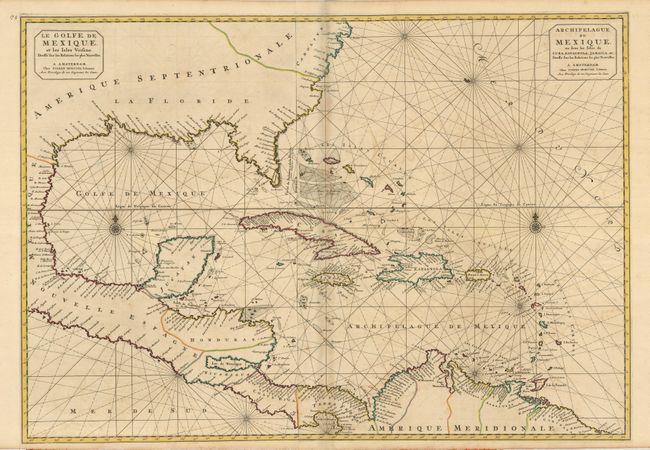
Subject: Gulf of Mexico and Caribbean
Period: 1700 (circa)
Publication:
Color: Hand Color
Size:
33.5 x 23.5 inches
85.1 x 59.7 cm
Download High Resolution Image
(or just click on image to launch the Zoom viewer)
(or just click on image to launch the Zoom viewer)