Catalog Archive
Auction 128, Lot 181
"Carte de la Partie Septentrionale des Etats Unis, comprenant le Canada, La Nouvelle Ecosse, New Hampshire, Massachuset's Bay, Rhode-Island, Connecticut, New-Yorck, Etat de Vermont avec partie de Pensilvanie et de New-Jersey", Tardieu
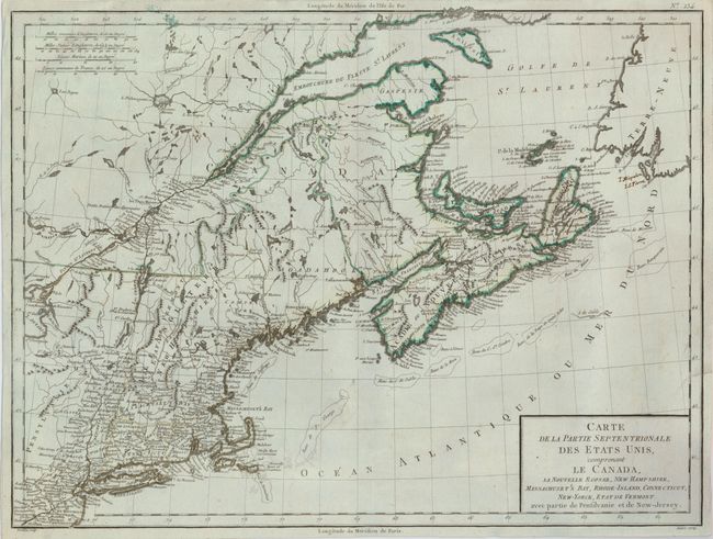
Subject: Eastern Canada & United States
Period: 1797 (circa)
Publication: Mentelle's Atlas Universel
Color: Hand Color
Size:
16.8 x 12.5 inches
42.7 x 31.8 cm
Download High Resolution Image
(or just click on image to launch the Zoom viewer)
(or just click on image to launch the Zoom viewer)