Catalog Archive
Auction 127, Lot 377

"Carte Reduite du Golphe du Mexique et des Isles de l'Amerique…", Bellin, Jacques Nicolas

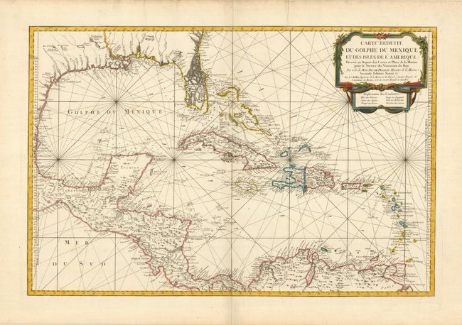
Subject: Gulf of Mexico and Caribbean

Period: 1757 (circa)

Publication: Hydrographie Francoise…

Color: Hand Color

Size:
31.5 x 21.3 inches
80 x 54.1 cm
Download High Resolution Image
(or just click on image to launch the Zoom viewer)

This large, impressive chart of the Gulf of Mexico and the Caribbean shows the Florida Peninsula as a maze of islands. The map was clearly meant to facilitate sailing, with loxodromic lines, the locations of safe anchorages, navigational hazards and the directions of major currents. A lovely cartouche fills the upper right, with the color key underneath. Second state, as noted in the cartouche with the last part of the date excised. But this issue is without the seal of the Depot de la Marine or price and is not noted by Tooley.

References: cf Tooley (MCC-96) #747.

Condition: A+

Estimate: $1,700 - $2,000

Sold for: $1,000

Closed on 2/25/2009

Archived