Catalog Archive
Auction 127, Lot 368

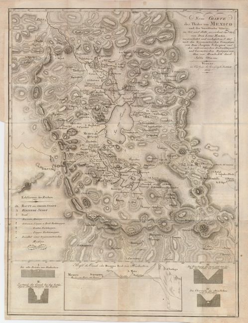
"Neue Charte des Thales von Mexico und der Benachbarten Gebirge", Geographisches Institut
Subject: Mexico

Period: 1810 (dated)

Publication:

Color: Black & White

Size:
13 x 17.5 inches
33 x 44.5 cm
Download High Resolution Image
(or just click on image to launch the Zoom viewer)

This is a very uncommon topographical map showing the vicinity of Mexico City based on Humboldt's chart of the valley of Mexico. A profile at bottom is a geological profile of the canals from Mexico City to Huehuetoca. It is strongly engraved to illustrate the topography and filled with detail.

References:

Condition: B+

Folding as issued. With a little offsetting and some soiling or toning.

Estimate: $250 - $300

Sold for: $210

Closed on 2/25/2009

Archived