Catalog Archive
Auction 127, Lot 194

"Nova Virginiae Tabula", Hondius, Henricus

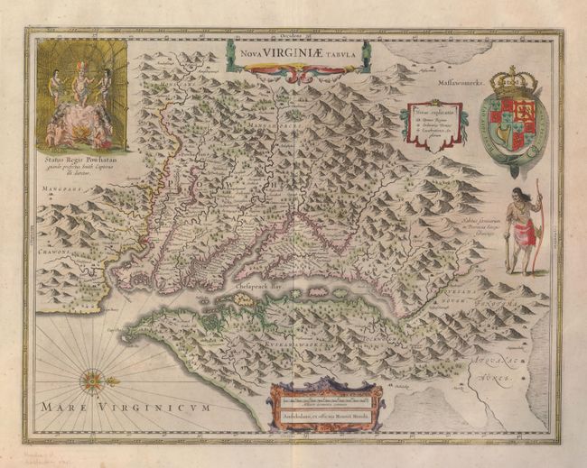
Subject: Colonial Mid-Atlantic

Period: 1639 (circa)

Publication: Atlas Novus

Color: Hand Color

Size:
19.3 x 15 inches
49 x 38.1 cm
Download High Resolution Image
(or just click on image to launch the Zoom viewer)

This graphic map is Henricus Hondius' version of Capt. John Smith's important map of 1612, drawn from his brother's map of 1618. After the death of Jodocus Hondius in 1629, his widow sold a number of plates to Blaeu. Angry at the sale to a competitor, Henricus and Joannes Jansson engaged engravers to cut new plates, which were largely based on Jodocus' work. This is the 5th derivative of Smith's map. It is beautifully engraved with topographical features and the locations of scores of Indian villages. In the upper left corner is an engraving of the great Indian chief Powhatan seated on his throne and surrounded by his subjects. A Susquehanna chief, facing in toward Chesapeake Bay, is depicted on the right under a coat of arms. French text on verso.

References: Burden #228; Tooley (Amer) pp. 165-66.

Condition: B+

Printed on extra thick paper with nicely toned original color and a few faint spots. There is a fold separation in the top blank margin well away from map.

Estimate: $2,000 - $2,500

Sold for: $2,300

Closed on 2/25/2009

Archived