Catalog Archive
Auction 126, Lot 767

"Congo by Robt. Morden at ye Atlas in Cornhil London", Morden, Robert

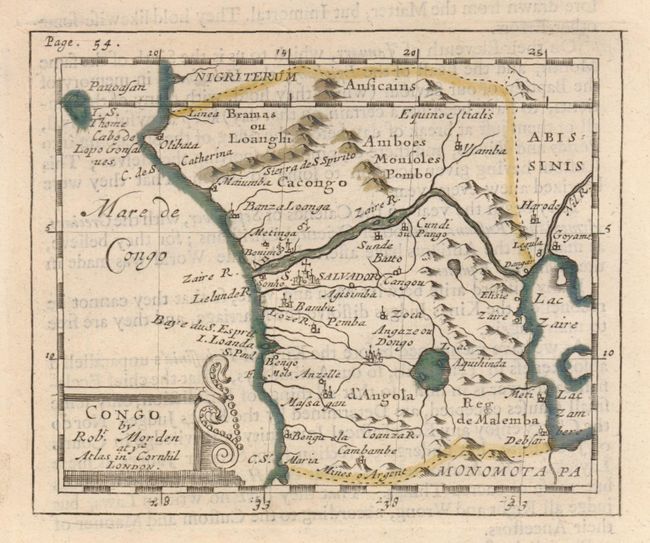
Subject: Western Africa

Period: 1688 (circa)

Publication: Geography Rectified

Color: Hand Color

Size:
4.8 x 4 inches
12.2 x 10.2 cm
Download High Resolution Image
(or just click on image to launch the Zoom viewer)

Charming miniature map comprising Gabon, Congo and Angola which was published by "Robt. Morden at ye Atlas in Cornhill, London." A huge Lac Zaire/Zambere lies at the eastern border. The interior geography of Africa at this time was wholly unknown; nevertheless the map presents a landscape filled with lakes, rivers and other spurious details. Lake Zaire is shown as the source of both the Nile and the Congo (here the Zaire) Rivers. The real source of the Nile, Lake Victoria, is not shown. On page (6 x 8") with Congo related English text.

References:

Condition: A

Near fine example with just a little text show-through from verso.

Estimate: $150 - $200

Sold for: $75

Closed on 12/3/2008

Archived