Catalog Archive
Auction 126, Lot 679
"Die Statt Constantinopel", Anon.
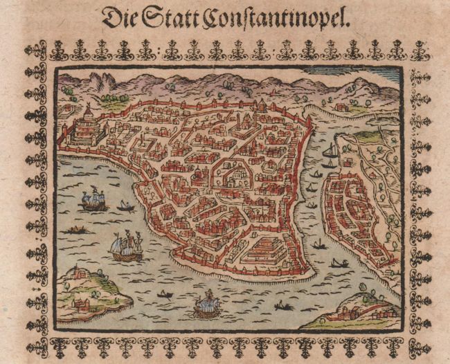
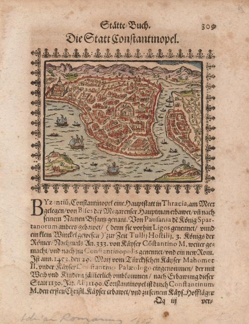
Subject: Turkey, Istanbul
Period: 1607 (circa)
Publication:
Color: Hand Color
Size:
4.3 x 3.5 inches
10.9 x 8.9 cm
Download High Resolution Image
(or just click on image to launch the Zoom viewer)
(or just click on image to launch the Zoom viewer)