This lot of maps were produced by Johann Gabriel Doppelmayr and Johann Baptist Homann, who were frequent collaborators in producing celestial and astronomical charts. Dopplemayer was a professor of mathematics in Nuremberg, and Homann was founder of one of the most prominent German cartographic publishers.
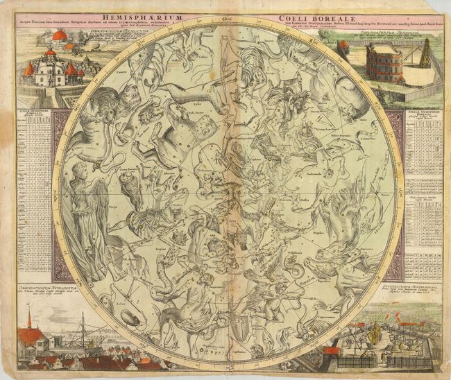
1) Hemisphaerium Coeli Boreale… A celestial chart or the northern hemisphere centered on the ecliptic pole using a polar sterographic projection and an external orientation. Depicted in the corners are the observatories of Tycho Brahe at Hven, the Paris Observatory, Hevelius at Danzig, and Eimmart at Nuremberg. The tables along the sides identify and describe the constellations, including eight new observations by Hevelius. Trimmed to neatline at bottom right with some old paper laid in to extend the margin. Upper right corner of margin is torn off. Toned on centerfold with an interior tear repaired on verso with paper.
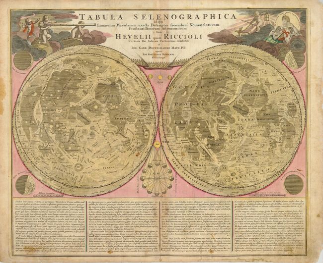
2) Tabula Selenographica in qua Lanarium Macularum… A double hemisphere map of the surface of the moon. Both spheres depict the same side of the moon and are filled with topography, using place names following the nomenclature of Riccioli and Hevelius. Between the two spheres is a scheme of the phases of the moon while different lunar phases are represented in the four corners. The map is decorated at top with cherubs using a telescope and Diana, the goddess of the moon. Toned on centerfold with some old paper repairs on fold and in margins.
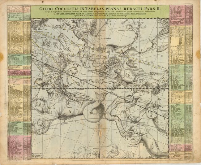
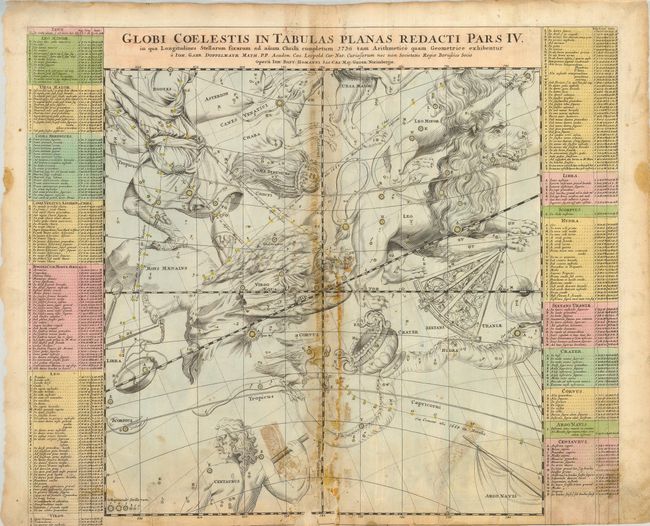
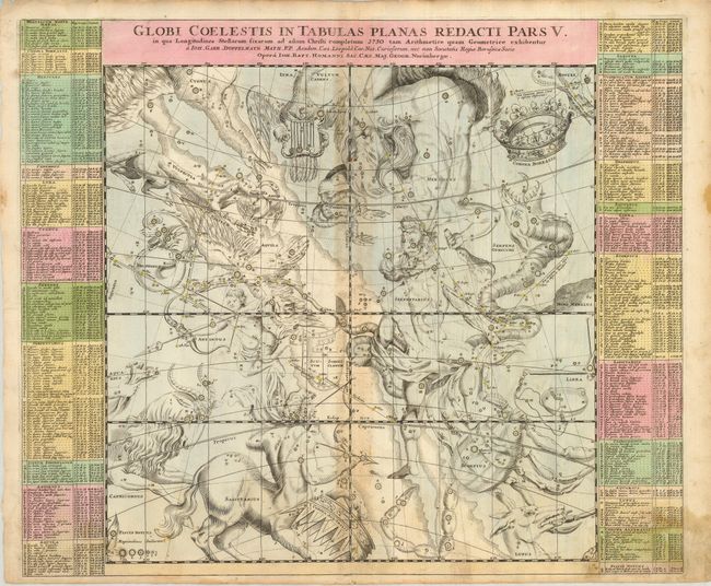
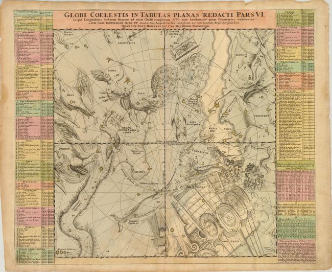
The other three maps are start charts that use a gnomonic projection with geocentric orientation - 'the fixed stars for the end of the year of Christ 1730 according to the rules of arithmetic and geometry.' The constellations are shown as figures according to classical mythology and the zodiac as derived from Hevelius. The more recently named constellations are shown as scientific instruments. The paths of several important comets are traced following a pattern established by Pardies. 3) Globi Coelestis in Tabulas Planas Redacti Pars II. Toned on centerfold with bottom separated about 1/3 into map. There are several short tears entering the map, some with old paper repairs on verso.
4) Globi Coelestis in Tabulas Planas Redacti Pars V. Toned on centerfold with some cello tape stain on verso. Bottom fold is separated about 3" into the map and there is a small worm track in the same area. There are two tears in the bottom border also with tape stains on verso.
5) Globi Coelestis in Tabulas Planas Redacti Pars VI. This map is in good condition with only minor toning and a few tiny marginal tears.
References: Kanas, pp. 209-11; Wagner pp. 64-66.
Condition: D
All maps with original color and in need significant repair, as noted in description. Sold as is, not subject to return.