Catalog Archive
Auction 126, Lot 465

"[Lot of 3 Road Maps]",
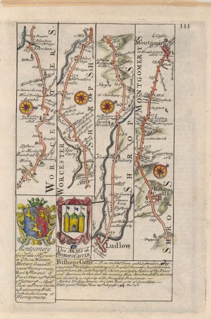
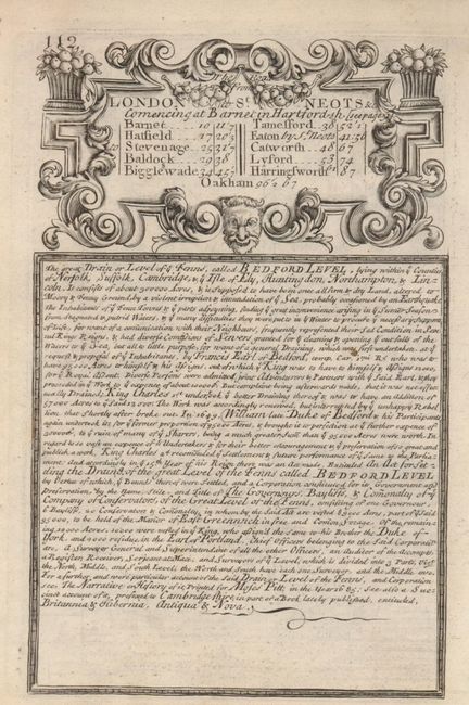
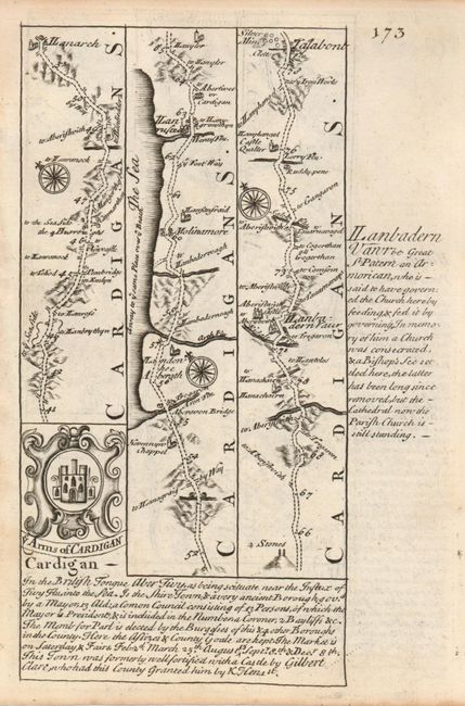
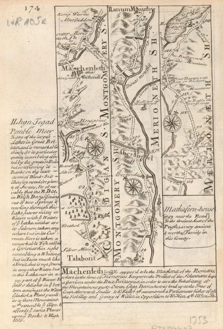
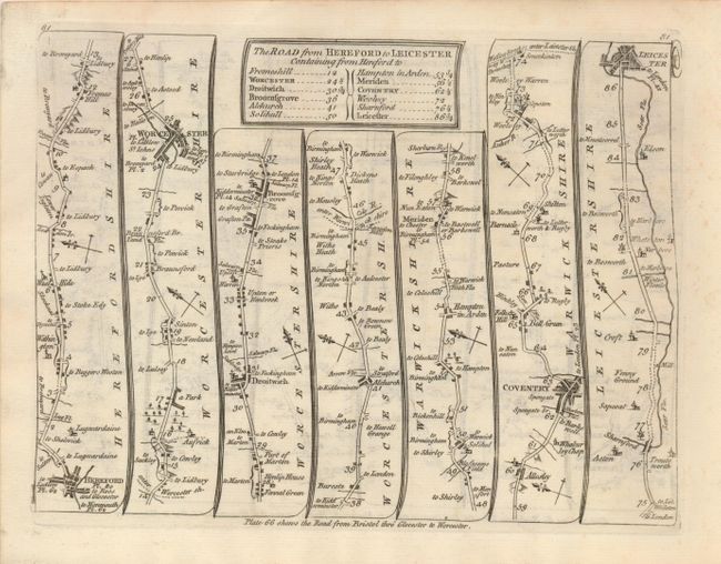
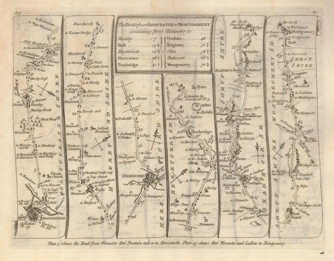
Subject: England

Period: 1719-30 (circa)

Publication:

Color:

Size:
See Description
Download High Resolution Image
(or just click on image to launch the Zoom viewer)

The tradition of strip-style British road maps began with John Ogilby's Britannia in 1675. In the early part of the 18th century, the style and data were copied in a reduced format by several mapmakers in response to public demand for a more portable version.

1) Worcester to Montgomery, by Bowen & Owen, Britannia Depicta Or Ogilby Improv'd, London, 1730, hand colored on one side. Text, distances London to St. Neots &c. on verso. There is some brown paper hinge tape along the top edge (4.5 x 7")
2) Cardigan / Machenleth to Meropneth, by Bowen & Owen, Britannia Depicta Or Ogilby Improv'd, London, 1730, uncolored (4.8 x 7.2")
3) The Road from Hereford to Leicester / Gloucester to Montgomery, by John Senex, An Actual Survey of all Principal Roads of England and Wales, London, circa 1719, uncolored (8.3 x 6")

References:

Condition: A

Estimate: $100 - $150

Sold for: $50

Closed on 12/3/2008

Archived