Catalog Archive
Auction 126, Lot 448

"Imperium Caroli Magni", Jansson, Jan
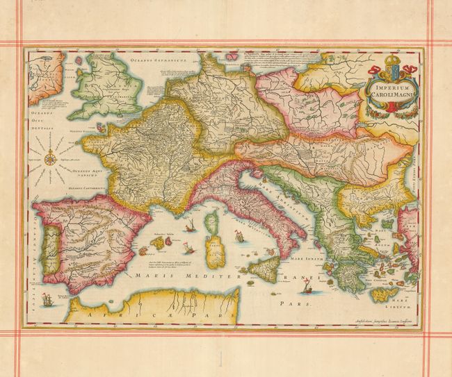
Subject: Europe

Period: 1670 (circa)

Publication:

Color: Hand Color

Size:
21 x 14.8 inches
53.3 x 37.6 cm
Download High Resolution Image
(or just click on image to launch the Zoom viewer)

This is a superb historical map depicting the European empire of Charlemagne, King of the Franks and Emperor of the Holy Roman Empire, 742 - 814. The map covers all of Europe and the Mediterranean, excluding Scandinavia. The map is fully engraved with mountains, forests, and cities and notations concerning Charlemagne's exploits. A title cartouche with wreath and coat of arms, compass rose and five sailing ships decorate this beautiful map. The map is framed with manuscript red ruled lines just outside the border, with ruled lines also framing the Latin text on verso.

References:

Condition: A

There is a small worm track at bottom margin, else very fine.

Estimate: $475 - $550

Sold for: $550

Closed on 12/3/2008

Archived