Catalog Archive
Auction 126, Lot 36
"Hydrographical Chart of the World on Wright or Mercators projection with Tracts of the Last Circumnavigators", Thomson, John
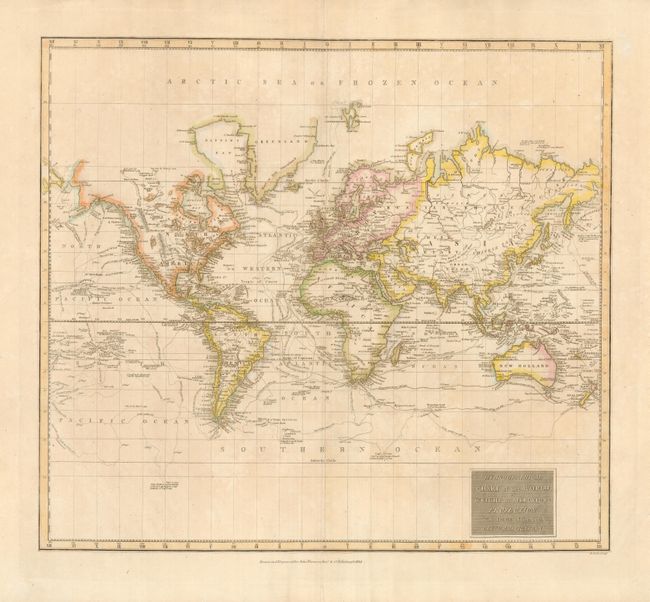
Subject: World
Period: 1814 (dated)
Publication: New General Atlas
Color: Hand Color
Size:
19.8 x 17.5 inches
50.3 x 44.5 cm
Download High Resolution Image
(or just click on image to launch the Zoom viewer)
(or just click on image to launch the Zoom viewer)