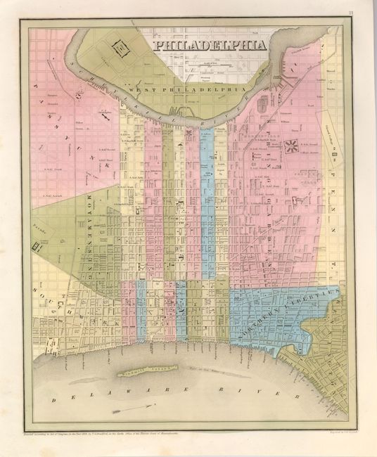
1) Philadelphia, T.G. Bradford, 1838. (11.5 x 14") This great city plan is from Bradford's "An Illustrated Atlas." It shows the location of many government buildings including the State Penitentiary, Girard College, County Prison, Alms House, and the Navy Yard. North is oriented to the right. Very nice full color and bright, early impression. (A+)
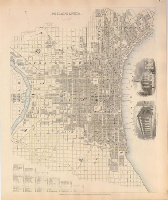
2) Philadelphia, SDUK, 1840. (11.7 x 14.7") This beautifully engraved plan of the city and waterfront along the Delaware River has great detail of major streets, buildings and landmarks. List at bottom names, and is keyed to, 96 buildings and institutions. The new railways are detailed and named. Lovely engraved vignettes show the United States Bank and the Exchange. Near fine with just a little marginal toning. (A)
References: 2) Lane & Cresswell #140; Moreland & Bannister, p. 45.