Catalog Archive
Auction 126, Lot 227

"Amer. Sep. Partie des Etats Unis. No. 40", Vandermaelen, Philippe Marie Guillaume

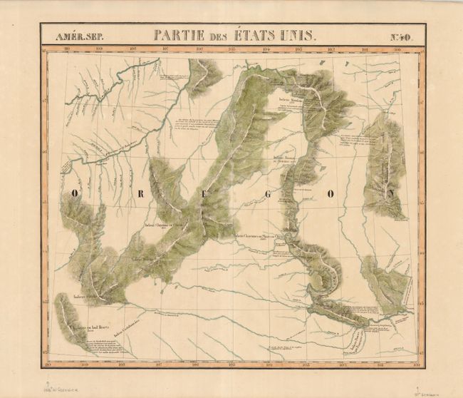
Subject: Montana, Dakotas

Period: 1825-27 (published)

Publication: Atlas Universel de Geographie Physique, Politique, Statistique et Mineralogique

Color: Hand Color

Size:
20.3 x 18 inches
51.6 x 45.7 cm
Download High Resolution Image
(or just click on image to launch the Zoom viewer)

This very unusual map of part of the Oregon Territory actually covers eastern Montana and the western part of the Dakotas with the Missouri and Yellowstone Rivers. The map incorporates information from the explorations of VĂ©rendrye, Trudeau, Dorion, Hunt, and Lewis & Clark, with Lewis & Clark's route along the Missouri River carefully noted. Several Indian tribes are located (along with their populations). No towns or settlements are shown, although it locates Fort Mandan where the Lewis and Clark Expedition wintered in 1804-1805.

The Atlas Universel contained 400 maps in six volumes. It was the first atlas made up of lithographed maps, and the first to present all the maps on the same scale (1: 1,641,836), with each map covering an area of approximately 20 degrees longitude (from Paris) and 6 degrees of latitude. If all the maps were joined together they would form a globe of 7.75 meters in diameter. The maps were published by subscription between 1825 and 1827, with each part containing ten maps. There was only one edition and the subscription list shows that 810 copies were sold; thus the maps are quite rare.

References: Wheat [TMW] #378.

Condition: A

Lightly toned, else fine.

Estimate: $275 - $325

Sold for: $180

Closed on 12/3/2008

Archived