Catalog Archive
Auction 126, Lot 219
"Nebraska, and the Territories of Dakota, Idaho, Montana and Wyoming", Walling & Gray
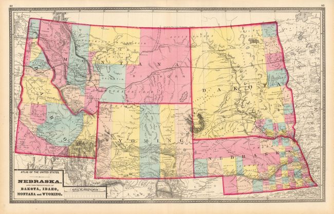
Subject: Western United States
Period: 1872 (circa)
Publication: New Topographical Atlas of Ohio and the United States
Color: Hand Color
Size:
24.5 x 15 inches
62.2 x 38.1 cm
Download High Resolution Image
(or just click on image to launch the Zoom viewer)
(or just click on image to launch the Zoom viewer)