Catalog Archive
Auction 126, Lot 169
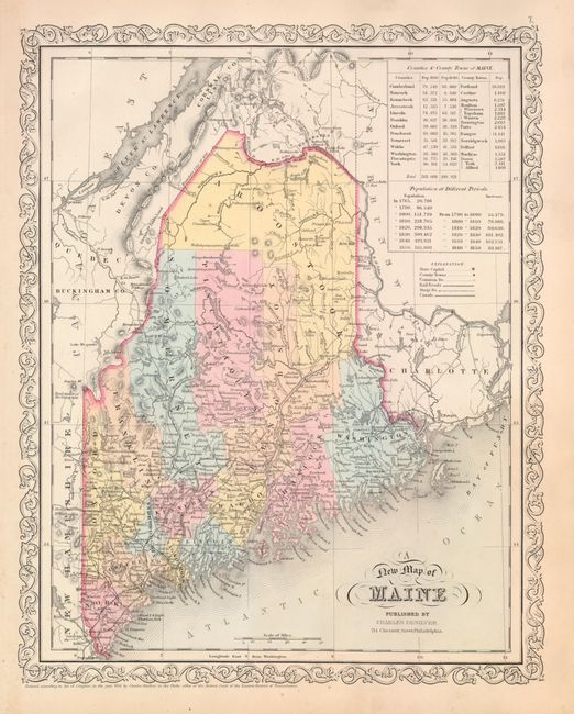
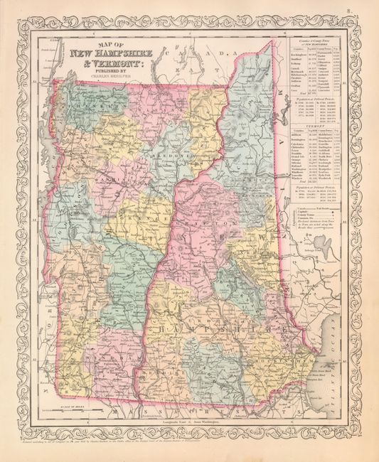
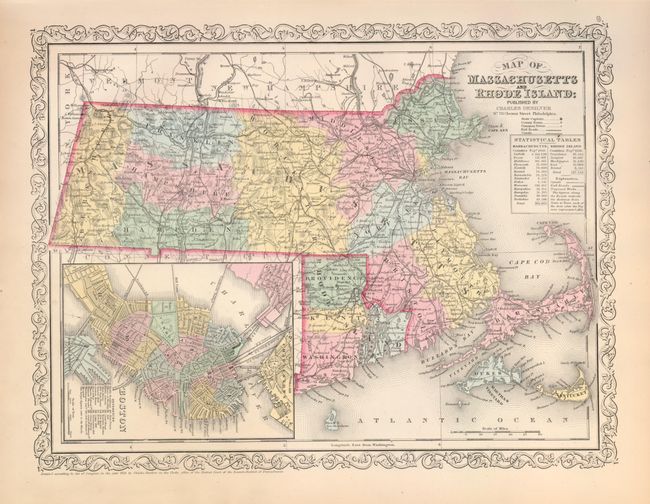
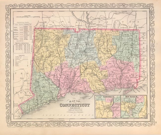
"[Lot of 4] A New Map of Maine [with] Map of New Hampshire & Vermont [with] Map of Massachusetts and Rhode Island [and] Map of Connecticut", Desilver, Charles
1 of 4
Subject: New England
Period: 1856 (dated)
Publication: New Universal Atlas
Color: Hand Color
Size:
12.3 x 15.3 inches
31.2 x 38.9 cm
Download High Resolution Image
(or just click on image to launch the Zoom viewer)
(or just click on image to launch the Zoom viewer)