Catalog Archive
Auction 125, Lot 930

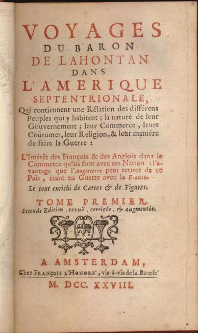
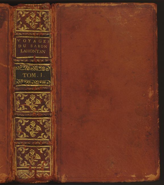
"Voyages du Baron de Lahontan dans l'Amerique Septentrionale… Tome Premier", Lahontan, Louis Armand

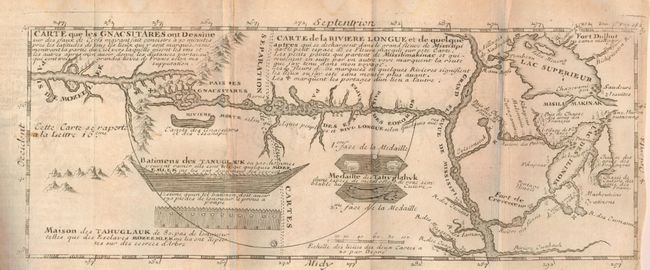
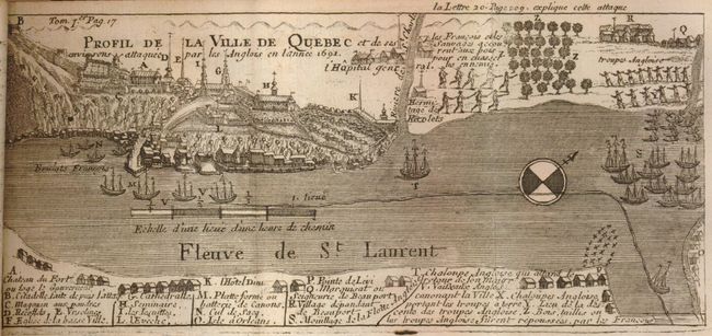
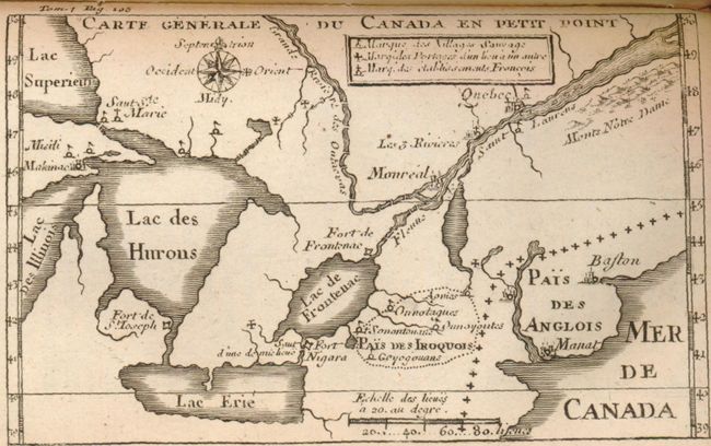
Subject: Exploration and Surveys, North America

Period: 1728 (published)

Publication:

Color: Black & White

Size:
4 x 6.5 inches
10.2 x 16.5 cm
Download High Resolution Image
(or just click on image to launch the Zoom viewer)

Louis Armand, Baron de Lahontan, served ten years in the French military in Canada, was involved in the Indian Wars, and commanded several posts in the west. He traveled extensively in the Wisconsin and Minnesota region and the upper Mississippi valley. Upon his return to Europe he wrote this enormously popular travelogue. In it he embellished his knowledge of the geography of the Great Lakes region, invented Indian tribe names, and created several fictions, particularly the "River Longe" extending from the Mississippi River to the Rocky Mountains. Over twenty editions of his book were published between 1703 and 1741, including editions in French, English, Dutch and German. The immense popularity of the book resulted in his distorted cartography being accepted by several eminent cartographers who incorporated the "Lahontan" concepts into most of the maps of the 18th century. This is the first volume of three, the second 1728 edition, and is printed in French. Hardbound in brown calf with raised band spine with red and black labels, tooled and gilded. 8vo, 428 pages.

It includes the important folding map "Carte de la Riviere Longue et de quelque autres…" It is one of the most influential, and fanciful, maps in American cartographic history. It purports to show the Riviere Longue flowing from the mountains in the west, home to the Gnacsitares Indians, and connecting to the Mississippi River. On the western side of the mountains is another river, presumably flowing into the Pacific. Lahontan's concept was copied by virtually all 18th century cartographers including Moll, Senex, Popple, and Delisle, thus perpetuating the myth presented by this small (11.5" x 4.8") but influential map. The map also includes balloon-shaped Lakes Superior and Michigan. The map is the third state. Ref: Kershaw #301.

Also includes the maps: "Profile de la Ville de Quebec…" folding map from across the river; "Carte Generale du Canada en Petit Point"; untitled battle plan shows French and Indian positions; and an untitled map of la Grande Baye du Plaisance. Plus several engravings including the frontis "Planche du Titre"; "Combat entre deux Vaisseaux Anglois et Francois" is a great battle between two three-masted ships firing cannons; untitled showing several canoes and method of portage; "Campement de Mr. de la Barre"; untitled shows various methods of hunting deer; plate of animals including eagle and bear; "Lac des Hurons"; and a nice beaver plate. The complete Volume I includes five maps and several engraved plates.

References: Kershaw #301.

Condition: B+

Binding with a little rubbing and some abrasion along side of spine, signatures tight. Three book plates on end pages. Marbled paper end papers. Maps and text with occasional very light foxing, some soft folds on folding plates. A very sound example.

Estimate: $950 - $1,200

Sold for: $700

Closed on 9/24/2008

Archived