Catalog Archive
Auction 125, Lot 917

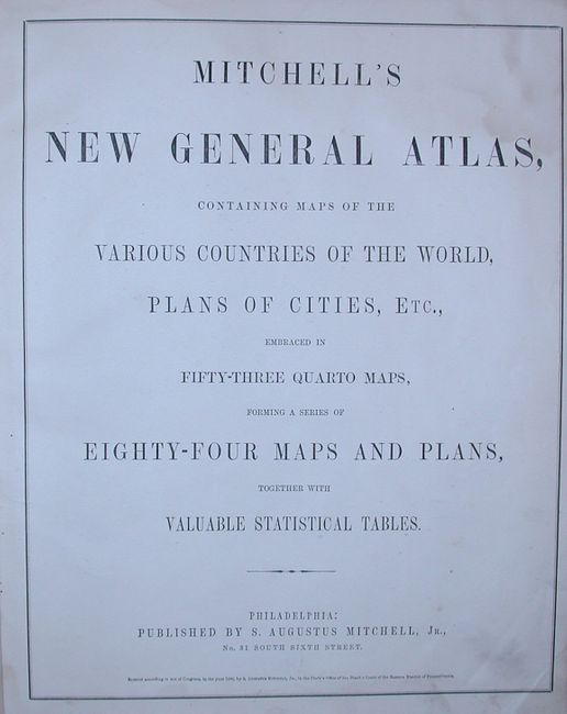
"Mitchell's New General Atlas, containing Maps of the Various Counties of the World, Plans of Cities, Etc…", Mitchell, Samuel Augustus

Subject: Atlases

Period: 1860 (dated)

Publication:

Color: Hand Color

Size:
13.5 x 16 inches
34.3 x 40.6 cm
Download High Resolution Image
(or just click on image to launch the Zoom viewer)
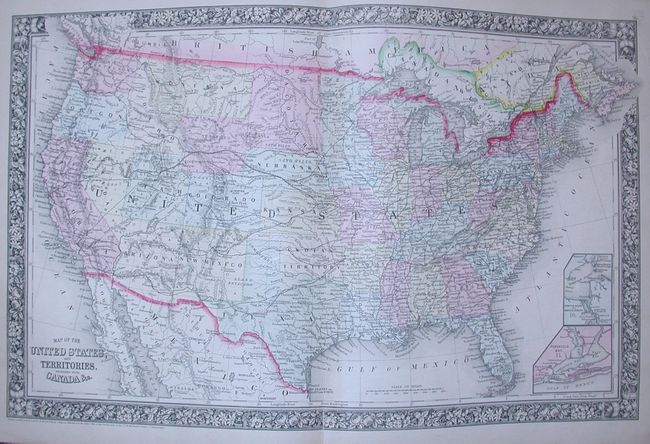
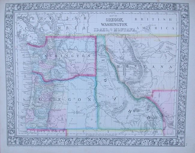
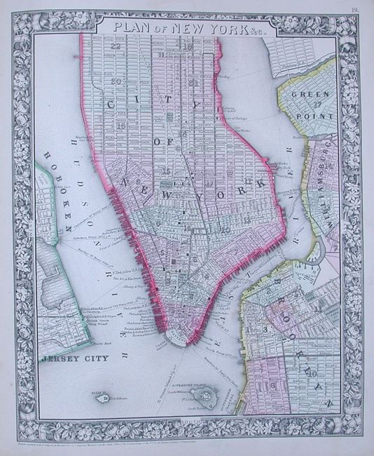
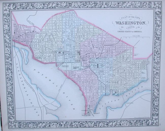
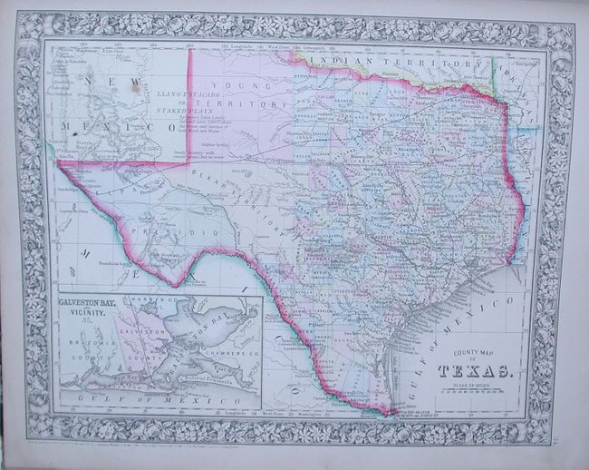
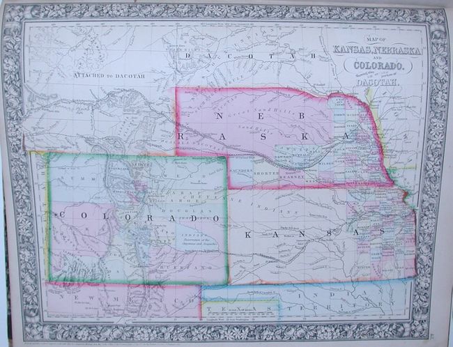
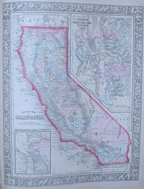
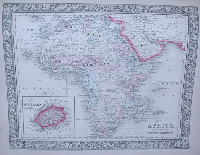
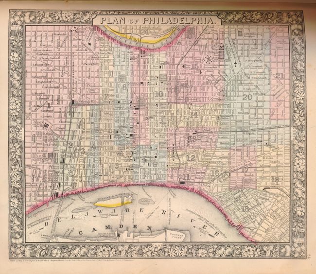
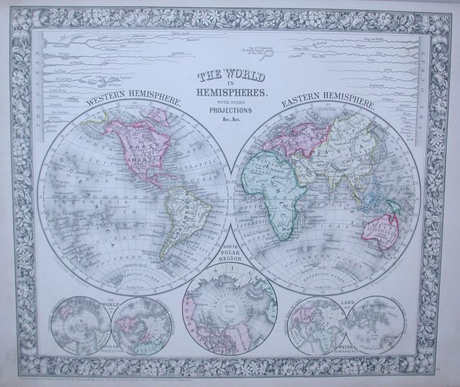
This is a very nice example of Mitchell's atlas that features the beautifully engraved floral borders and strong hand coloring characteristic of his first edition. The maps related to the United States include individual states, regions and city plans. This edition shows the Territory of Arizona owning the southern tip of Nevada with Las Vegas, Wyoming still attached to Dacotah, and a very early depiction of Idaho, all suggesting the publication date circa 1863. The very fine example of the Texas map contains county development current to 1860. Includes many detailed city plans: New York & Brooklyn, Boston, Philadelphia, Baltimore, Washington, Cincinnati, and New Orleans. Small folio, hardbound in quarter leather. Title pages, contents, maps. Complete with 84 maps on 53 sheets per the List of Maps.

References:

Condition: A

Maps are very good to fine with beautiful impression and coloring as usually seen in the first edition. Covers are rough with rubbing and abrasion, spine is quite rubbed with loss at lower 1". The leather label on front cover is missing.

Estimate: $1,200 - $1,600

Sold for: $950

Closed on 9/24/2008

Archived