Catalog Archive
Auction 125, Lot 915

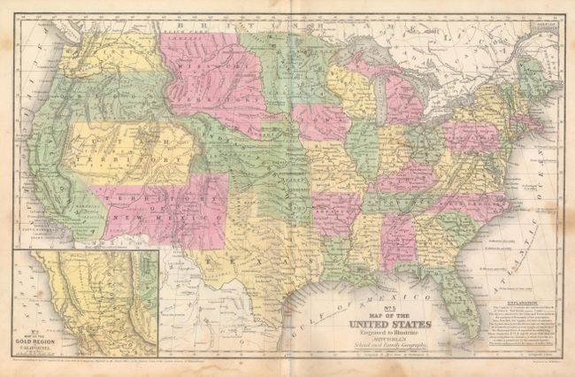
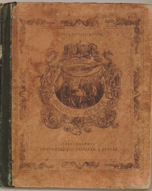
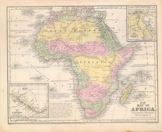
"Mitchell's School Atlas", Mitchell, Samuel Augustus

Subject: Atlases

Period: 1854 (dated)

Publication:

Color: Hand Color

Size:
10 x 12 inches
25.4 x 30.5 cm
Download High Resolution Image
(or just click on image to launch the Zoom viewer)

A nice example of Mitchell's famous school atlas with 32 maps (on 18 sheets) along with tables and statistics. The map of the United States features large western territories and the Pre-Gadsden purchase border with Mexico. The map of the Gold Region in California, inset into the map of the U.S., contains the names of numerous important gold mining towns in central California. The atlas also includes a nice map of Texas. Hardbound with pictorial paper over boards. This is the fourth revised edition, published by Cowperthwait, Desilver & Butler.

References: Wheat (TMW) #793; Wheat (Gold) #226.

Condition: B

Covers separated from text, else in very good condition with minimal pencil marks on endpapers and a few minor spots on maps. Covers with normal wear.

Estimate: $300 - $375

Sold for: $400

Closed on 9/24/2008

Archived