Catalog Archive
Auction 125, Lot 480

"Geological Map of England & Wales, Showing also the Inland Navigation by means of Rivers and Canals … Rail Roads & Principal Roads", Walker, J & C

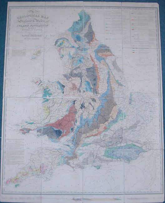
Subject: England & Wales

Period: 1835 (dated)

Publication:

Color: Hand Color

Size:
38.5 x 50 inches
97.8 x 127 cm
Download High Resolution Image
(or just click on image to launch the Zoom viewer)

This is a superb, large-scale thematic map covering England and Wales. It is beautifully hand colored to illustrate 23 geological formations and the important mining districts. In addition it provides exceptional detail of the roads, canals, and railways that made up the transportation system. A profile along the bottom shows the geological formations from Land's End to the German Ocean. Dissected and laid on original linen, folding into a tooled leather slip case (10.5 x 13").

References:

Condition: B+

Map in very good condition with lightly toned paper. Covers very worn.

Estimate: $600 - $700

Sold for: $750

Closed on 9/24/2008

Archived